For the past few years, iLEAPS has been brainstorming about a 3-dimensional parameter or index that would describe the state of the biosphere, the atmosphere, and societies. The idea would be to explore the trajectories of all these three variables but, more importantly, to try and find any possible covariance between any two or among all three variables that would shed light on dependencies and interactions among biospheric, atmospheric, and socioeconomic processes in the past and in near-real time.
During the past year, the European Space Agency (ESA) has expressed strong interest to be involved in the development of such an index. Satellite information would indeed be indispensable because satellites can give information about large regions that are too remote and unattainable for ground-based observations. ESA and iLEAPS co-organised a first workshop on the index on 13 June 2013 at the Max-Planck Institute in Munich.
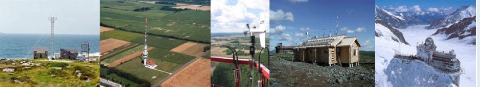
The speakers in the workshop included experts in satellite observations, land use and land cover changes, social structures and stratification, data analysis, and socioeconomic sciences. One of the main problems with such a multidisciplinary index is deciding what kind of socioeconomic variables and indices should or could be used and how they could be linked with environmental policy, international trade, and land-use decisions. On the natural science side, many practical satellite applications exist that can produce useful data for describing the states of the biosphere and the atmosphere. Satellites are particularly useful for separating different land use and land cover types from one another – land management is of course one of the most direct links between socioeconomic and biospheric/atmospheric processes. However, although one of the main advantages of remote sensing is that it can be used to observe remote regions where ground-based observations are not possible, even satellite data is limited in some regions. Furthermore, satellite data will always need to be strengthened with ground-based observations and this is where international infrastructures and networks such as FLUXNET, ICOS, ACTRIS, LIFEWATCH and others come in.
Tanja Suni and Ari Asmi