Johanna Maliniemi
I think most of us have decided to study Development Geography, because we had a desire to change the world a fairer, safer and equal place. Study years have passed fast, and Master’s students need to really consider how to try to fulfil their goals after graduating. Volunteer work is always nice, but with many thousands’ euros study loan, you also need to think the salary. Great news was heard in our 4th seminar: there are many options to combine these goals!
We had two visitors in our meeting, who inspired and encouraged us by sharing their own paths in development career. The first speaker was Outi Hakkarainen from Kepa, who works as an officer for advocacy and development policy. Kepa is the umbrella organisation for Finnish civil society organisations who work in field of development cooperation, and Hakkarainen has worked there more than 10 years. Her career path went through Latin America, as Hakkarainen went to Mexico after studying and worked there years with issues of democracy. After years in Latin America, she decided to work in Finland and got work at first in Stakes and later in Kepa. Hakkarainen has a long experience of field of civil society, which is also goal for many development geographers.
Image/ Tuija Pakkanen
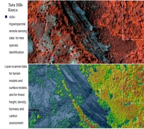
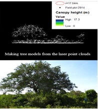
Our second guest was Tuija Pakkanen from WSP Finland, in which Pakkanen worked in an urban architecture unit as an urban analyst. She has also a lot experience working abroad, as she has been in the US, Nicaragua and Nepal. Pakkanen is a good example that it is not only NGO’s in which development minded people can work. She has been working for various private sector companies which deal with environment. After finishing her Master’s studies in development geography, she got one year contract in the US Forest Service in California. After the experience in the US she got a GIS and forestry related job in Arbonaut Ltd in Nepal funded by the Finnish Ministry for Foreign Affairs bilateral development cooperation programme. Pakkanen worked couple of years in Nepal, but then she wanted to work in Finland and got work in WSP. She thinks that by working in private sector, you can also change the world because you can make the companies to work sustainable way. She has used GIS skills a lot in her work, but she told that you do not necessarily need to be expert of GIS to get the works but to have some experience and confidence that you are able to learn more. You will learn the skills while working anyway.
Activism was mentioned by both guests to be a good quality in job seeking. Hakkarainen tells that she has always participated in activism and encourages students to do so. Activism and volunteer work would be a great place to learn also while you are studying. There are many student associations and other organizations were students can participate. Either it doesn’t need to be just hobby kind of thing but Hakkarainen mentioned that she sees it as a life style. Other mentioned qualities in job seeking were flexibility, interest in political issues, teamwork, quick to learner, open and active mind.
Benefits of being a development geographer were discussed also, and one of the key quality is, that geographers understand the wide issues and sees the multidimensional causalities. The development geographer is a person who understand how environment, society, markets and politics have impacts to different levels of society and who knows what could be the actions to change system to more sustainable and fair.