
Authors: Bryan Vallejo, Olle Järv
We developed the OptiSS tool to optimize geodetic spatial joining for assigning geographical attributes to social media data in the BORDERSPACE project at the Digital Geography Lab. The tool has a user-friendly local app, yet its Python script can be easily used in any workflow.
Why we developed the tool?
In the BORDERSPACE project, we need to assign hierarchical spatial attributes (municipality, region, country) to each geo-located tweet. Mostly, geo-located tweets obtained from Twitter’s API already have geographical information such as an administrative unit and a country, in addition to exact coordinates. Yet, not all tweets have such information and, most importantly, some tweets are not located on land – some are just off the coast or somewhere at sea (Figure 1). However, geodetic spatial joining requires computational resources and is time consuming, especially when we have 100+ million geo-located tweets to handle. Thus, we created the OptiSS tool to make computation more efficient. The tool works for any social media data that have at least geographical coordinates.
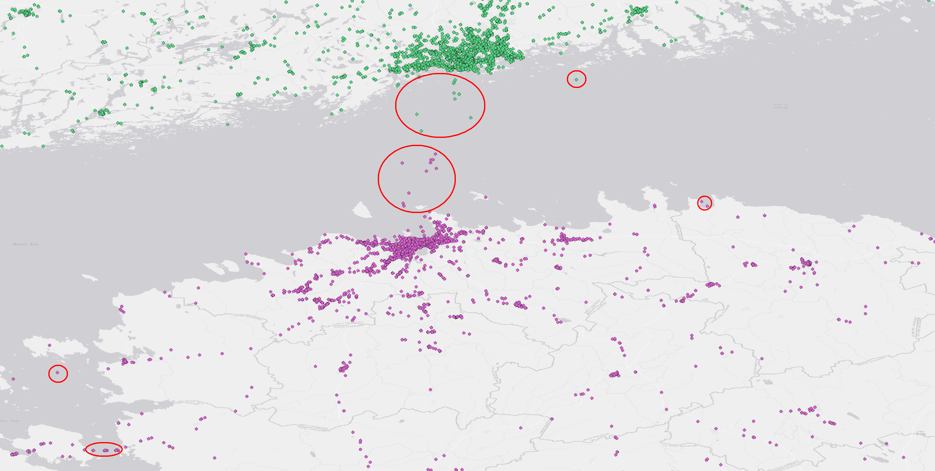
Figure 1. The OptiSS tool assigns geographical attributes like municipality or country efficiently to social media posts. This is useful particularly when posts are not only located on land, but also off the coast (highlighted in red circles). Continue reading “OptiSS 🧐 — A tool to optimize spatial joining of social media data”