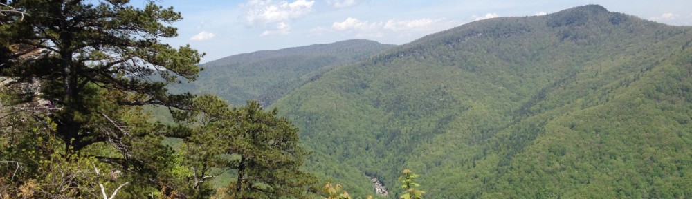
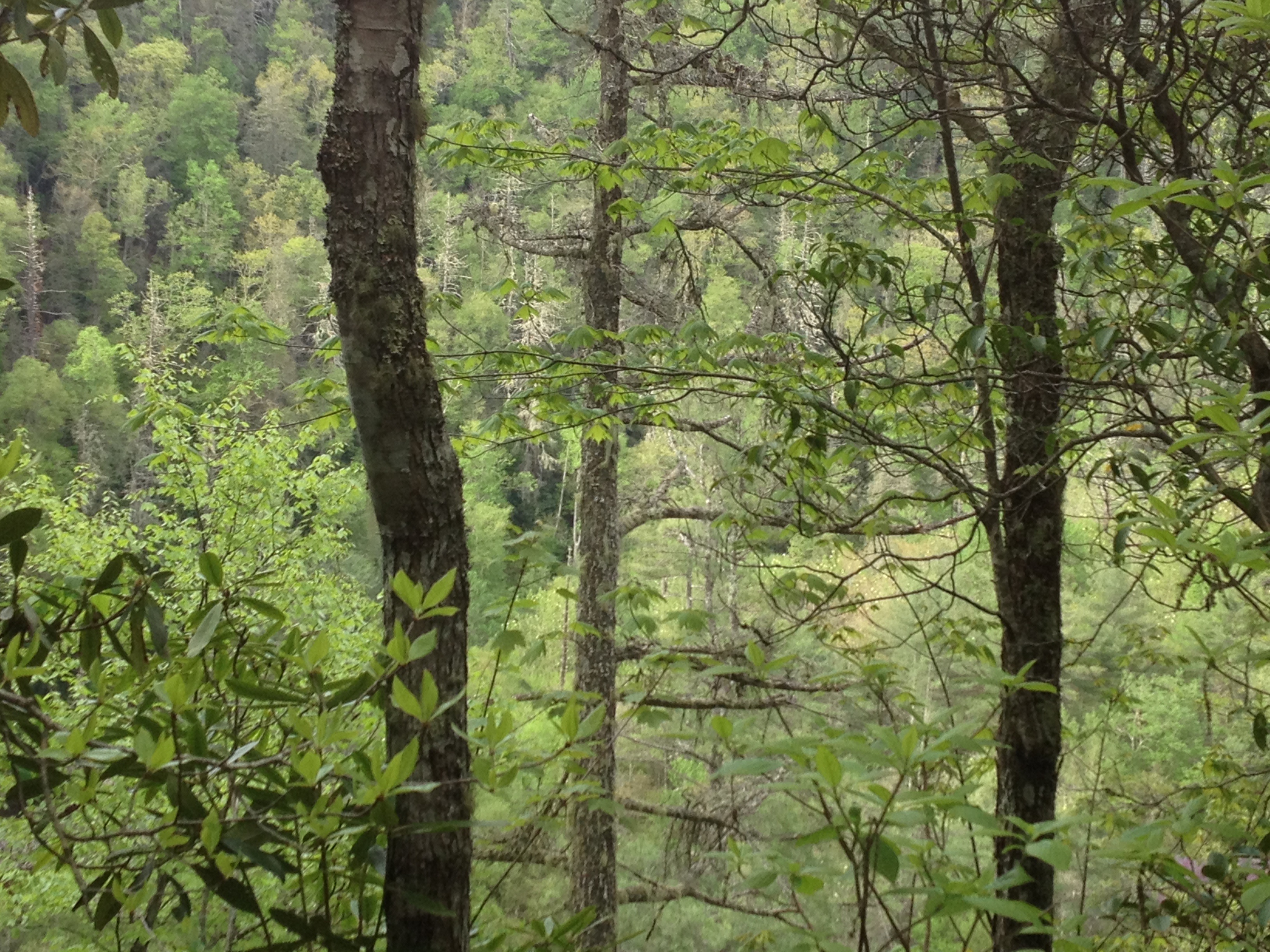
Hemlock woolly adelgid (Adelges tsugae Annand, HWA) outbreaks are posing a major threat to hemlocks in the eastern USA. These species usually occur as isolated canopies and mixed species in landscapes where variation in topography is extreme. Hemlock mortality will fundamentally change the forest vegetation composition. Evaluating the impact requires precise and accurate estimation of hemlock mortality. Our study contributes new insights on hemlock mortality at a suitable larger scale and fine resolution. High resolution remote sensing provides means for interpreting ecological impact in the context of landscape functional heterogeneity.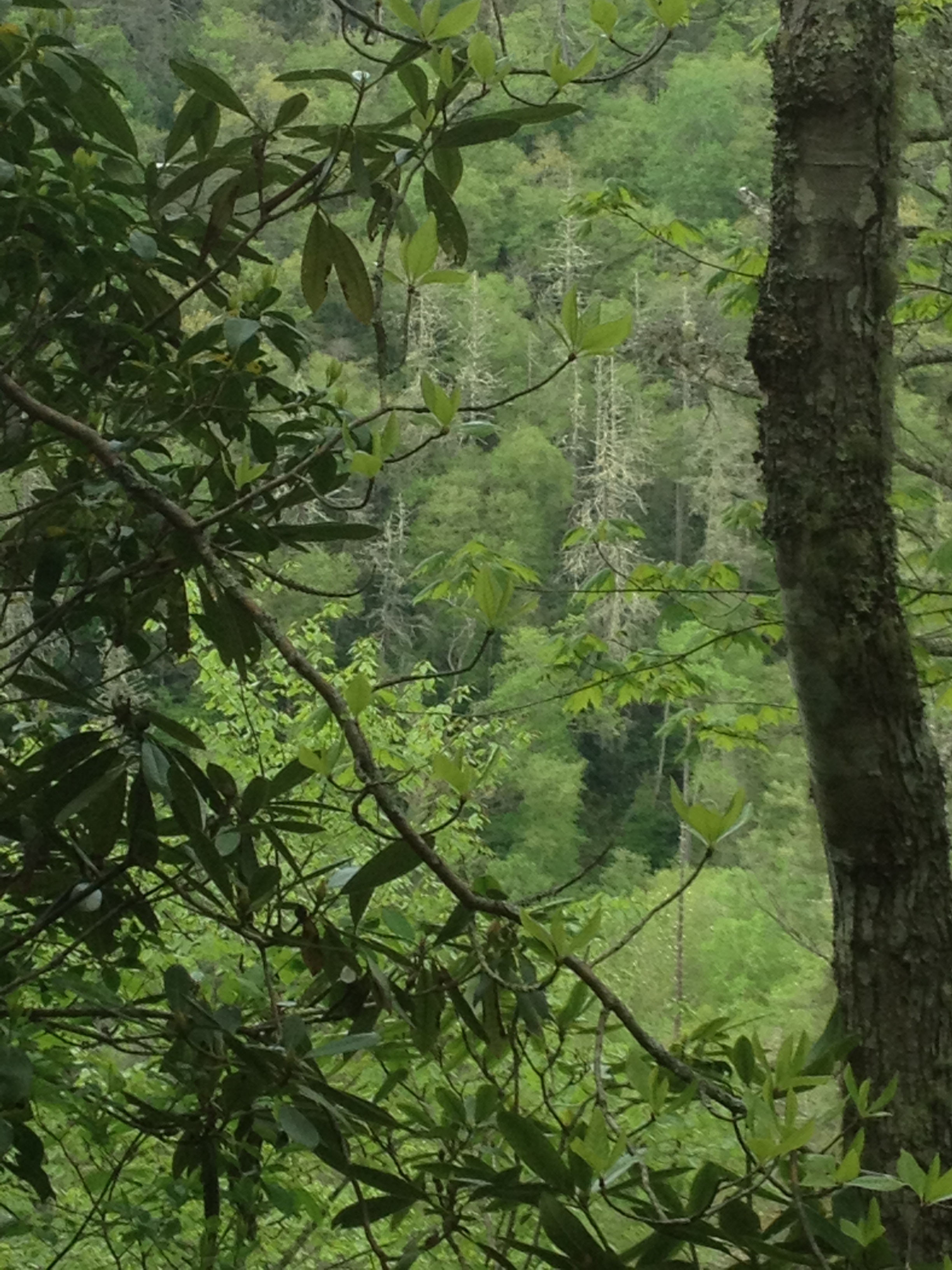
Our current research focuses on investigating utilization of remote sensing in revealing impacts of hemlock mortality in Southern Appalachian forest landscapes. Our recent research indicates that dead tree density is higher close to streams, at higher elevations, and on northern aspects. Spatial pattern of the dead trees is generally clustered. We suggest that the reduction in plant biomass within our study area is modest. Impact of removal of foundation species, that play a variety of functional roles in forest landscapes is greater that suggested by the biomass. The clustered distribution of dead hemlocks, particularly in riparian zones, serves to amplify the impact of HWA herbivory. We also developed a semi-automatic method for mapping coniferous areas and hemlock mortality with a two phase remote sensing procedure. Resulting maps can provide an efficient tool for risk analyses and forest health management planning against both invasive and native forest pests.
 Interest of our on-going and future research is on modeling HWA’s and associated pests’ distributions and annual anisotropic dispersal in the eastern North America. The methods include Envelope Score Distribution and MIGCLIM R dispersal models. Remote sensing, GIS, and environmental and climate data are utilized. Distribution and dispersal are projected under different climate change scenarios. We also continue research in the Southern Appalachians and investigate temporal pattern of the HWA induced tree mortality from a long time-series of aerial images.