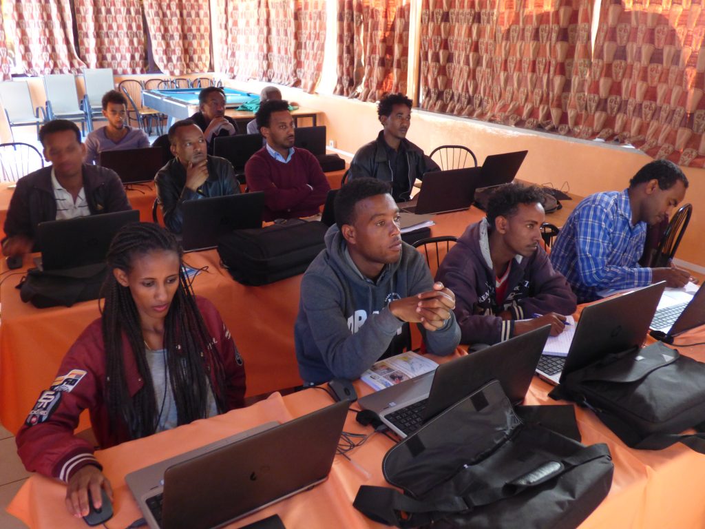
The curriculum for the MSc Degree in Geoinformatics was designed in collaboration between experts from University of Helsinki, College of Arts and Social Sciences, and National Higher Education and Research Institute (NHERI) in Eritrea. It was based on the Geoinformatics teaching of the Geography MSc programme at University Helsinki, but modified with specific needs that arose from the TNA & Gap Analysis, and on the guidelines on preparing a curriculum outlined by NHERI. The curriculum was approved in April 2016, and the teaching could begun.
The curriculum includes eight courses totaling 26 credits, and a MSc thesis (12 credits). Studying in the programme starts from introductory level courses on GIS and remote sensing on the first semester, and moves to more advanced topics such as spatial analysis, modelling and spatial statistics on the second semester. The second year is dedicated for MSc thesis research and dissertation, worth of 12 credits.
Thus, to complete the MSc degree, it normally takes two years and no more than two and half years.
Year 1 Semester I
Basics of ICT Applications (2 cr)
Principles of Geoinformatics (3 cr)
Spatial Data Collection and Cartography (3 cr)
Remote Sensing and Image Interpretation (4 cr)
Year 1 Semester II
GIS Modelling and Spatial Analysis (3 cr)
Spatial Statistics (4 cr)
Remote Sensing Applications (4 cr)
Seminar on Research Methodology (3 cr)
Year 2 Semesters I and II
MSc Thesis on Geoinformatics (12 cr)
