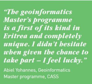
We conducted a baseline Training Needs Assessment and Gap Analysis in Eritrean HEIs in 2015 and identified major gaps in staff capacities of teaching and research in Geoinformatics. All HEIs lacked qualified teachers, training materials, hardware and software. The results of the analysis confirmed the importance and relevance of starting a MSc programme in Geoinformatics, in order to train geoinformatics professionals for various sectors of Eritrean society. Equally important was the feedback given on training needs, which especially highlighted the need for more practical hands-on training and exercises on different applications of Geoinformatics, instead of too theoretical approach.
Read more from this report: Results of Training Needs Assessment
Project purpose
By enhancing operational and analytical skills in Geoinformactics, the teaching, research and decision-making capacity in the partner HEIs and EMIC can be improved considerably.

After the training, staff members of these organizations are better capable of collecting and analyzing environmental and socio-economic spatial data and disseminate their findings to various policy makers.
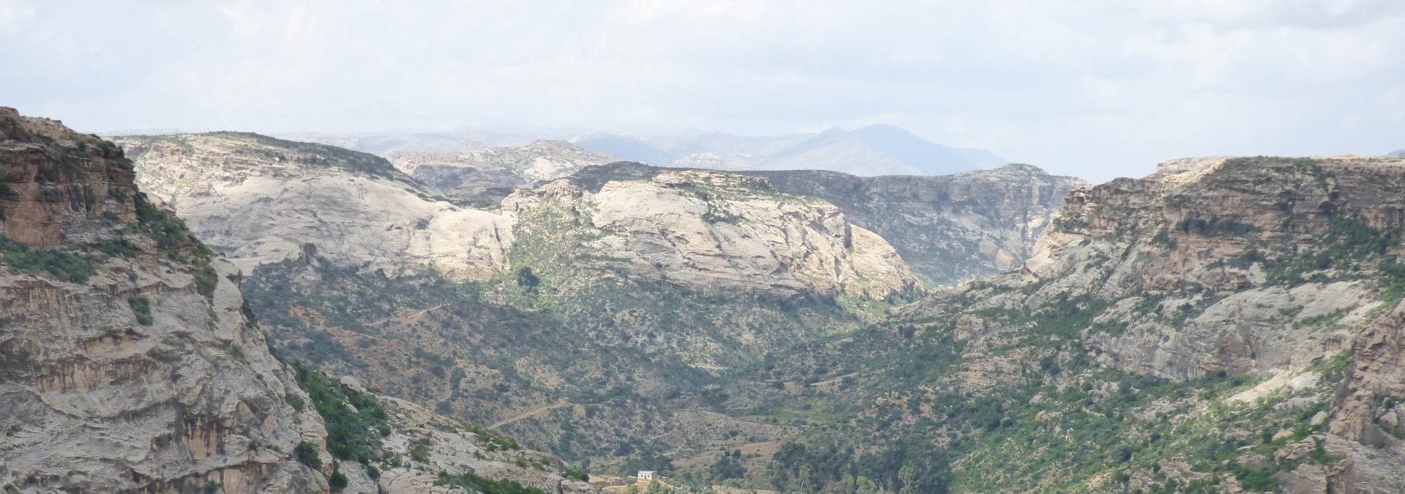
Based on this accurate, timely and objective information, policy makers can make more informed decisions on problems related to regional and urban planning, sustainable use of natural resources, environmental degradation, adaptation to climate change, and so on.

Future impact
The MSc programme in Geoinformatics has also long-term impacts in the job market. GIS experts are highly valued professionals who can find employment in the public or private sectors. Numerous job opportunities are available also outside the academia, in different sectors of the economy: private companies, organizations, government authorities, departments and ministries. Examples of just a few application areas of GIS in Eritrea are
- Agricultural sector (land use suitability analysis, soil fertility mapping, precision agriculture)
- Fisheries sector (sustainable management of marine resources, mapping of potential fishing grounds)
- Regional and urban planning (planning and management of urban infrastructure, environmental impact assessments)
- Energy and transport (optimal site selection for renewable energy plants, transport logistics)
- Land sector (land use planning, cadastral management, land adjudication and surveying)
- Water sector (flood risk mapping, water quality mapping, management of watersheds)
- Natural resources, mapping and their sustainable use (mining, forestry, marine)
- Environmental issues (assessment and mitigation of environmental degradation, adaptation strategies to climate change, mapping of biodiversity)