Combining growth models and multi-date satellite imagery inventory for improved carbon prediction of tropical forest (AccuCarbon) (2015-2017)
The project in short
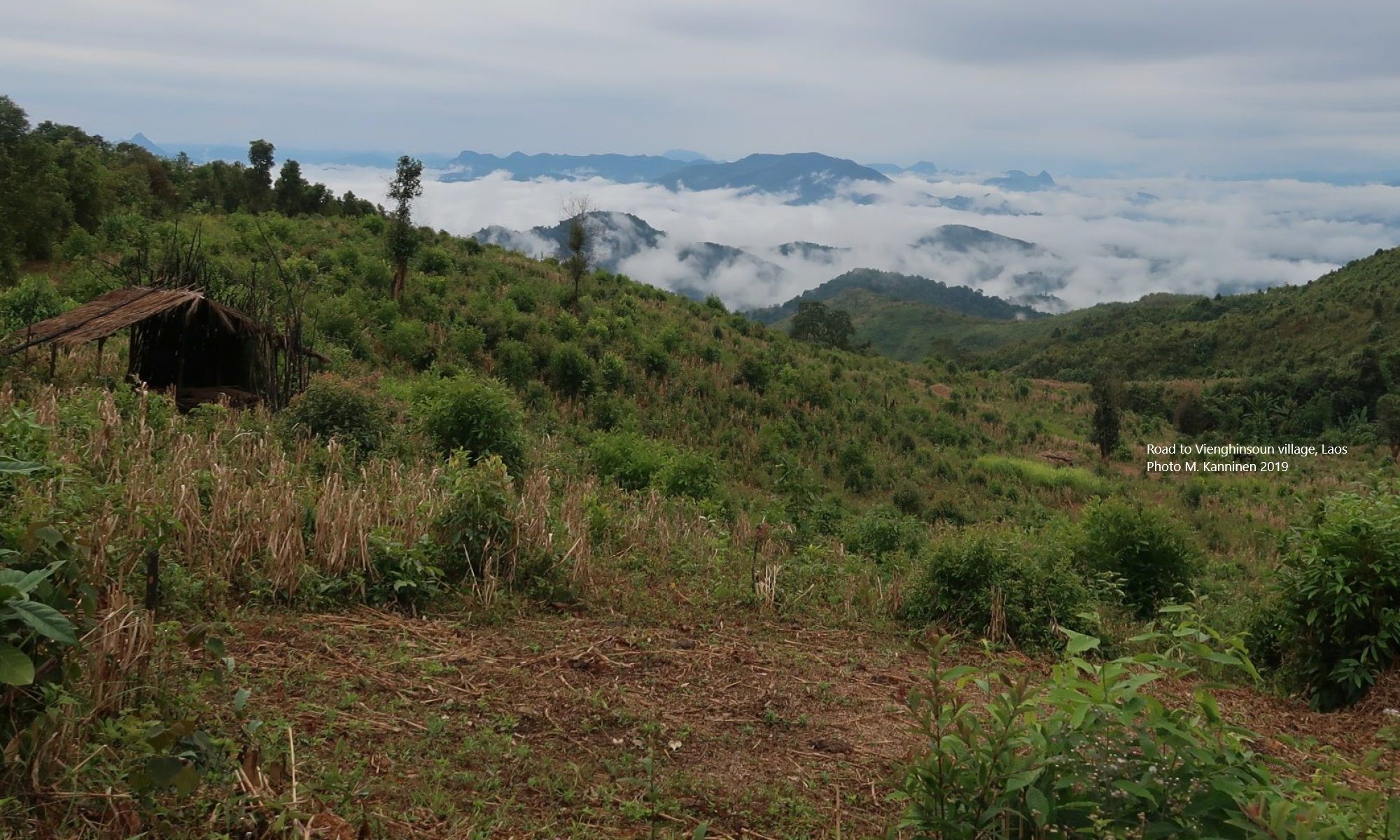
Development and demonstration of a pioneering service on the carbon storage of tropical forest to provide information on the emission or removal of forest carbon to support the MRV process of REDD+. AccuCarbon addresses the GFOI research priorities sensor interoperability and biomass estimation over the two Mexican provinces Durango and Chiapas.
Partners
VTT – Environmental Remote Sensing (project leader)
Subsecretario de Desarrollo Forestal Chiapas
Universidad de Juarez del Estado de Durango
Publication
Antropov, O., Rauste, Y., Väänänen, A., Mutanen, T., Häme, T. 2016. Mapping forest disturbance using long time series of Sentinel-1 data: Case studies over boreal and tropical forests. In, 2016 IEEE International Geoscience and Remote Sensing Symposium (IGARSS), pp. 3906-3909.
Links
The project web site at European Space Agency (ESA)
VITRI’s role
VITRI will use the CarboScen simulation tool to analyze forest carbon stock changes in the pilot study sites in the two Mexican provinces Durango and Chiapas.
VITRI’s team
Professor Markku Kanninen
Dr. Markku Larjavaara
Project duration
1 March 2015 – 28 February 2017