From this webpage you can find information about geoinformatics courses and study entities at the department of forest sciences.
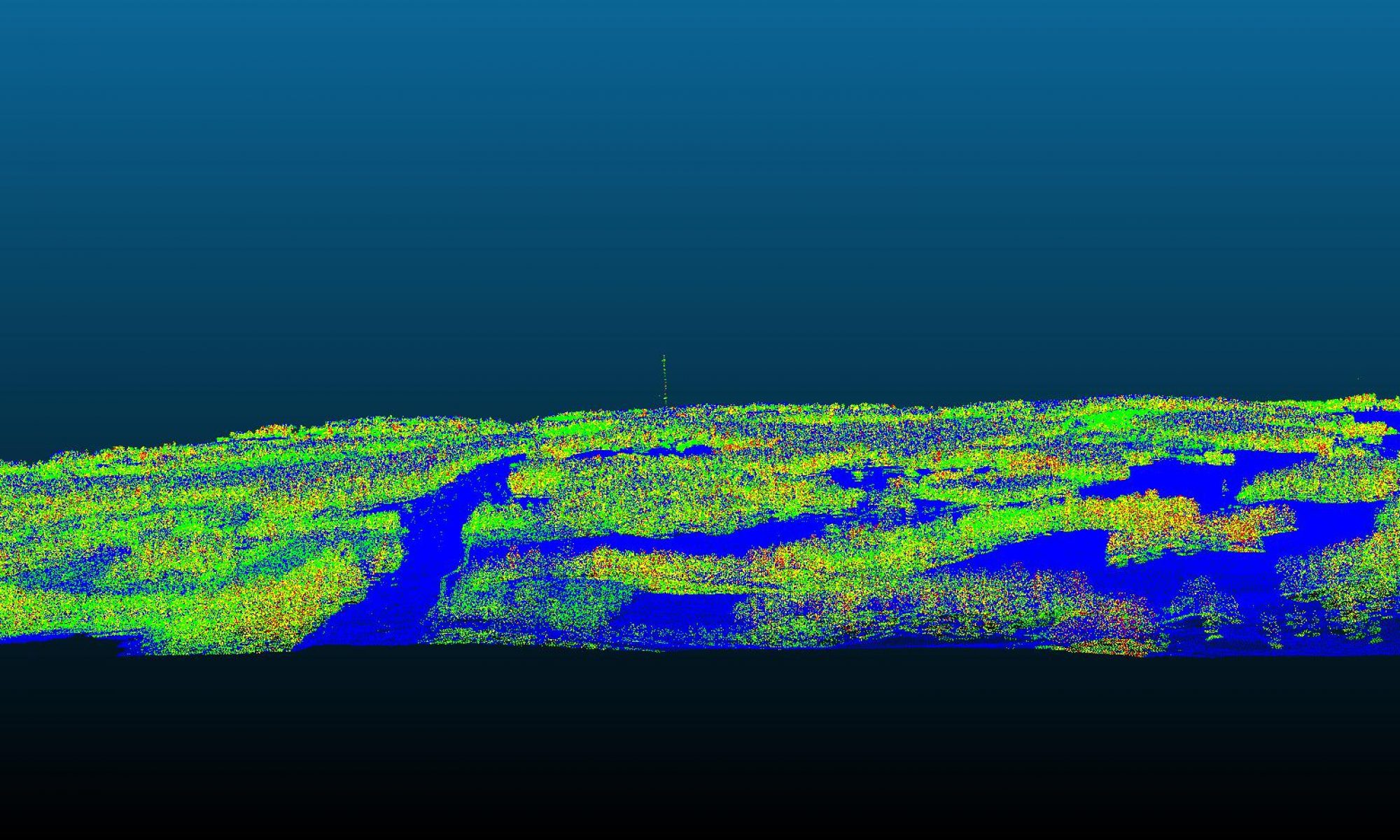
Geographic information science (GIS) is a field of science, which investigates methods for the acquisition, management, analysis and modeling of geospatial information. In forest sciences, GIS related research and teaching focuses on
-
- the development of detailed geospatial information acquisition
- the utilization of geospatial information in forest and environment information systems
- the utilization of geospatial information in planning and updating of forest resources
GIS is a part of teaching of forest resource management in the study programs of forest sciences but it is utilized in e.g. forest mensuration, forest ecology, forest technology and forest economy. The study programs of forest sciences offers a minor entity for the students. In addition to forest sciences, the minor in GIS is also very useful in other fields of science related to land use and the management of environmental information.
GIS methods are emphasized in the teaching, and practical exercises using different GIS software are an essential part of the courses. The goal of GIS teaching is to train students to acquire, manage and analyse geospatial information with GIS software. By using world-leading GIS software solutions, the students are set for international competition and can work all over the world. Geographic information has a vital role in the comprehensive development of the forest, land surveying and environmental sectors.