Below you can find a browsable map of the Mannerheim Line fortifications.
As the research continues, new features will be added on the map, such as photographs linked to the sites, and downloadable kml files of the data will be provided (see below for instructions and a list of updates to the map).
Instructions for using the map:
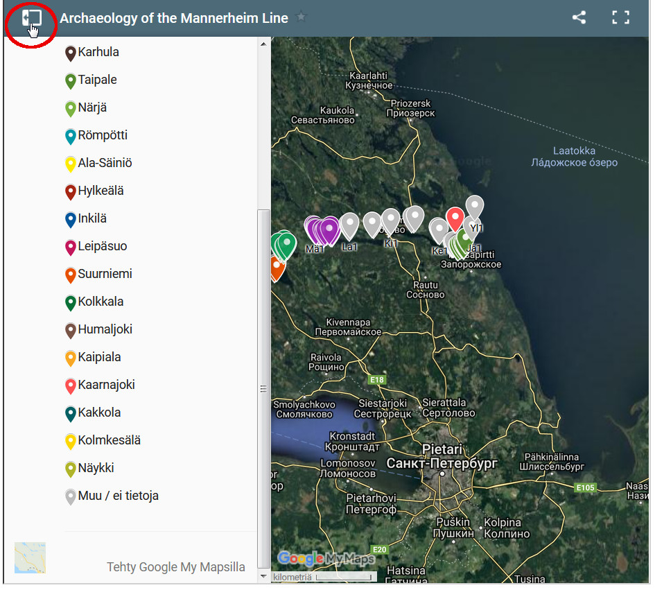
By clicking on the sidebar icon, you can view the map legend:
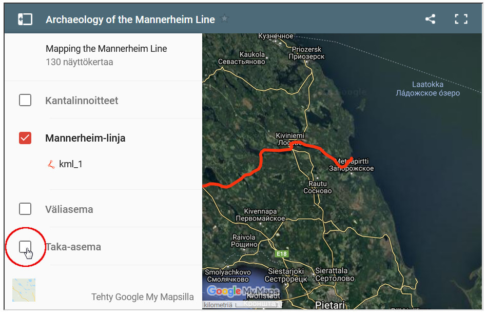
Different features on the map can be turned on and off by clicking at the check box next to it:
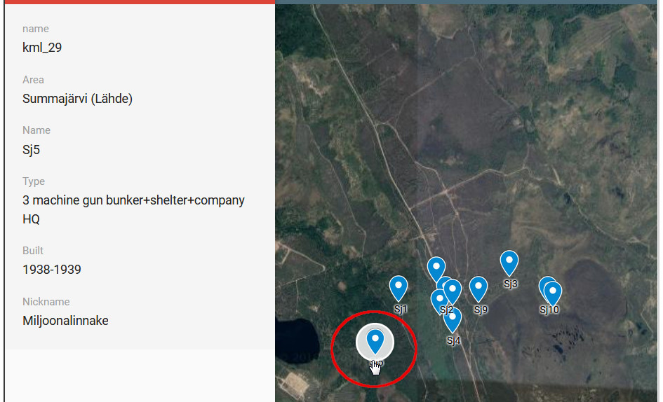
 You can view the details related to each site by clicking on the icon, here as an example the famous Sj5 “Million fortification” at Summajärvi (Lähde) sector:
You can also view a larger map:
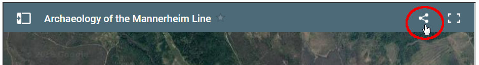
 Or share the map online:
Updates!
18 September 2018: Version 1.0 of the browsable Mannerheim Line map published online. So far nearly all the permanent fortifications (Fi. kantalinnoitteet) have been mapped on field and are shown on the map. Also the stage of preservation for most of them has been evaluated and will be added online. There are still some sites that have been inaccessible, for instance on islands and other remote locations: for them only approximate locations are provided at the moment – these will hopefully be included in more detail in the future.
19 September 2018: Mannerheim Line, Intermediate Line (Väliasema) and Rear Line (Taka-asema) added to the map.