One day of city bikes in Helsinki

Bike_sharing 15.5.2017

Click to enlarge

Creator:  Elias Willberg / Digital Geography Lab

Description:

The visualization shows all the trips (n~7200) made by Helsinki bike-sharing system bikes on Monday 15.5.2017 . Because the data set does not contain GPS tracks but only the start and the destination points, the paths for each trip shown in the map are not the real ones but assumed using fastest routes . Based on the data set  information however, the fastest route assumption is more or less valid especially during weekdays. White points are the city bike stations (n=140).

Data:

  • The Helsinki city bike dataset for 2017 was provided by HSL and City Bike Finland to the Accessibility Research Group / Digital Geography Lab of the University of Helsinki. The dataset has not been published openly to this date.
  • Background map: @OpenStreetMap Contributors @CARTO

About the visualization: The animation is done using QGIS time manager plugin.A big thank you also goes for these two excellent tutorials listed below that helped in making the animation:

New paper on dynamic accessibility modelling!

The concept of spatial accessibility – the potential of opportunities for interaction – binds together the key physical components of urban structure: people, transport and social activity locations. Despite the dynamic nature of these components and the changing accessibility landscape in space-time, however, location-based accessibility research has been predominantly static (atemporal) in nature.

With the joint research between Digital Geography Lab in Helsinki and Mobility Lab in Tartu, Estonia, we propose a generic conceptual framework of dynamic location-based accessibility modelling. For that, we used our dasymetric model and integrated mobile phone data to spatial accessibility modelling as a proxy for dynamic population distribution. In case of food accessibility by public transport in Tallinn (Estonia), we empirically demonstrate the impact of temporal aspects in accessibility modelling.

Read more in Applied Geography: Dynamic cities: Location-based accessibility modelling as a function of time

The conceptual framework for a dynamic location-based accessibility modelling (top). Here, all three components of spatial accessibility (people, transport and activities) vary as a function of time. The implementation of the framework (bottom) is an illustration of our case study, exemplifying the variation of accessibility in space and time to grocery stores in Helsinki, taking into account all the three accessibility components within a 24-h timeframe.


Travel time matrix 2018 calculations ongoing!

We are currently calculating a new version of the Helsinki region travel time matrix. The 2018 version of the matrix contains the changes in travel times that the new West Metro line has brought and there is now cycling included as a new travel mode.

The publication of the new matrix will hopefully take place within a few weeks once the calculations are done and we have finalized quality assessments for the dataset. We will naturally communicate more about the data and publication then. The published data set can be found from this blog as usual but we will also bring the metadata records to the Avoindata.fi service.

Stay in tuned!

The city of Helsinki’s thesis award to Joona!

Joona Repo’s master’s thesis titled Long-Term Accessibility Change of Services: Public Library Network in Helsinki Region as a Case Study was awarded the City of Helsinki’s reward, which are given annually for 10 distinguished theses. If you want to know more about the thesis, the summary is available here. Congratulations Joona!

Link to the news: https://www.hel.fi/uutiset/fi/kaupunginkanslia/kaupunki-palkitsi-kymmenen-helsinki-aiheista-opinnaytetyota

Summary of the accessibility related masters’ theses in 2017

Exceptionally many masters’ theses focusing on accessibility were published in 2017, 11 altogether. In these works, accessibility in Helsinki or in the wider Helsinki region was viewed from many perspectives and using various methods. All the theses expanded our understanding of accessibility while bringing new perspectives to support our current research. Therefore a short summary of the works published last year is in place.

Summary: Accessibility related theses 17

The Cycling routes and fluency in Helsinki report is now out!

Our joint report with the Helsinki city planning department titled Cycling routes and fluency is now published! The report has been made by Ainokaisa, Maria, Elias ja Tuuli.

The report examines comprehensively where people cycle in Helsinki at different times such as during the day, the week, the month and the year and how fluent the cycling seems to when looking at the average speeds and the waiting times in junctions.

The most popular cycling routes appeared to go beside the railroads and along the road sections where there was not alternative routes such as on bridges. The cycling speeds were the fastest on the main roads while the downtown speeds stood out being generally slower than elsewhere.

The data in the report is based on the trips recorded by the users of the Strava sport application. One of the purposes in the report was to examine how suitable this data is to study cycling. It proved to be quite reliable and in many ways useful, but spatial and temporal variations as well as the user distortions are important to take into consideration when analyzing the results. Strava data, however, offers several promising future research avenues to study cycling in the Helsinki region.

The report can be found here (only in Finnish)!

Henrikki is now a doctor!

Henrikki Tenkanen defended his doctoral dissertation on 17.11.2017 with the highest possible grade!

Henrikki’s work “Capturing time in space: Dynamic analysis of accessibility and mobility to support spatial planning with open data and tools” focuses on examining how temporality affects to accessibility. Accessibility patterns are studied in the dissertation in different type of areas from urban Helsinki and Tallinn to rural Peruvian Amazonia and South African national parks.

The central aim of the work was to treat the different components of accessibility, people, services and transport network together and dynamically taking into account for example daily variations. With current approaches, temporal variations can be modelled for each component at a time or for all of them together, which shows their effect on accessibility at different times.

Another core theme of the dissertation was to highlight how important it is to consider those travel modes, which are relevant for each study area. For example in Helsinki, besides the car transportation it is also necessary to study accessibility by public transport, cycling and walking because the differences between the travel modes can be considerable.

Exploiting the potential of novel data sources was also an important part of the dissertation. The work combines openly available transportation network data to the sources revealing locations of people such as mobile phone and social media datasets.

As the new approaches to analyze accessibility are important to put into practice in urban planning, our research group has aimed to share the tools and the data, which are developed in research. Hence, the datasets and the tools, which have been created as a result of Henrikki’s work are mostly openly available (see more information from the dissertation).

The dissertation is available online here.

CONGRATULATIONS HENRIKKI!

Doctoral Defense of Henrikki Tenkanen 17.11.2017

MSc Henrikki Tenkanen will defend his thesis “Capturing time in space – Dynamic analysis of accessibility and mobility to support spatial planning with open data and tools” in the Faculty of Science, University of Helsinki, on Friday 17th, November 2017 at noon.

The work consists of five scientific articles and a synthesis related to spatial and temporal patterns of accessibility and mobility.

Professor Rober Weibel from University of Zurich will serve as the opponent in the event.The defense is a public event, and dissertation is available online here.

Henrikki Tenkanen: Capturing time in space

Time: Fri 17.11.2017 12:00-14:00

Place: Kumpula Campus, Physicum-building, Auditorio D101, Gustaf Hällströmin katu 2 A

Master’s thesis focusing on cycling speed and travel times finished!

AINOKAISA TARNANEN’S MASTER’S THESIS “GIS-based modelling of cyclists’ speed and travel times in Helsinki region” was examined in September. In her thesis Ainokaisa developed a travel time model for calculating cyclists’ travel times in Helsinki region and examined the effect of different factors to cycling and the spatial differences in cycling speeds. Another objective was to assess how realistic it is to model cyclists’ travel times with constant speed on a regional scale. GPS data of cycling was collected from volunteers who had been tracking their cycling in Helsinki region with mobile sports applications. Road network for cycling and walking by Helsinki Region Transport was used as the modelling network.

The results show that slope, traffic lights and other junctions affect cycling speeds on an individual level but not on the regional scale. In general, the effect of signalized junctions is the greatest, whereas steep uphill slopes have the greatest effect on route-based mean speeds. The cycling speeds vary by cycling frequency: the more frequent cyclists have greater mean speeds. Spatial examination shows that mean cycling speeds in parts of central Helsinki are 0.8 times slower than in rest of the area.

A travel time model based on the constant speeds corresponding to the different median speeds of frequent and less frequent cyclists was implemented on the network. According to the results constant speed can be seen as an adequate assumption to model comparable cyclists’ travel times in Helsinki region. However, personal and spatial differences in cycling speeds should be taken into account. Travel times calculated with this model can be combined to the Helsinki region travel time matrix providing information on cycling alongside car, public transport and walking travel times and distances.

Thesis is available here:

You can find more information on Digital Geography Lab’s ongoing biking projects here: https://www.helsinki.fi/en/researchgroups/digital-geography-lab/biking-as-part-of-sustainable-urban-mobility-2017-2018

Registration open for Henrikki’s PhD course

Novel data sources for accessibility modelling – Henrikki Tenkanen’s PhD course

November 2017 – Geography Master’s Programme

Course description

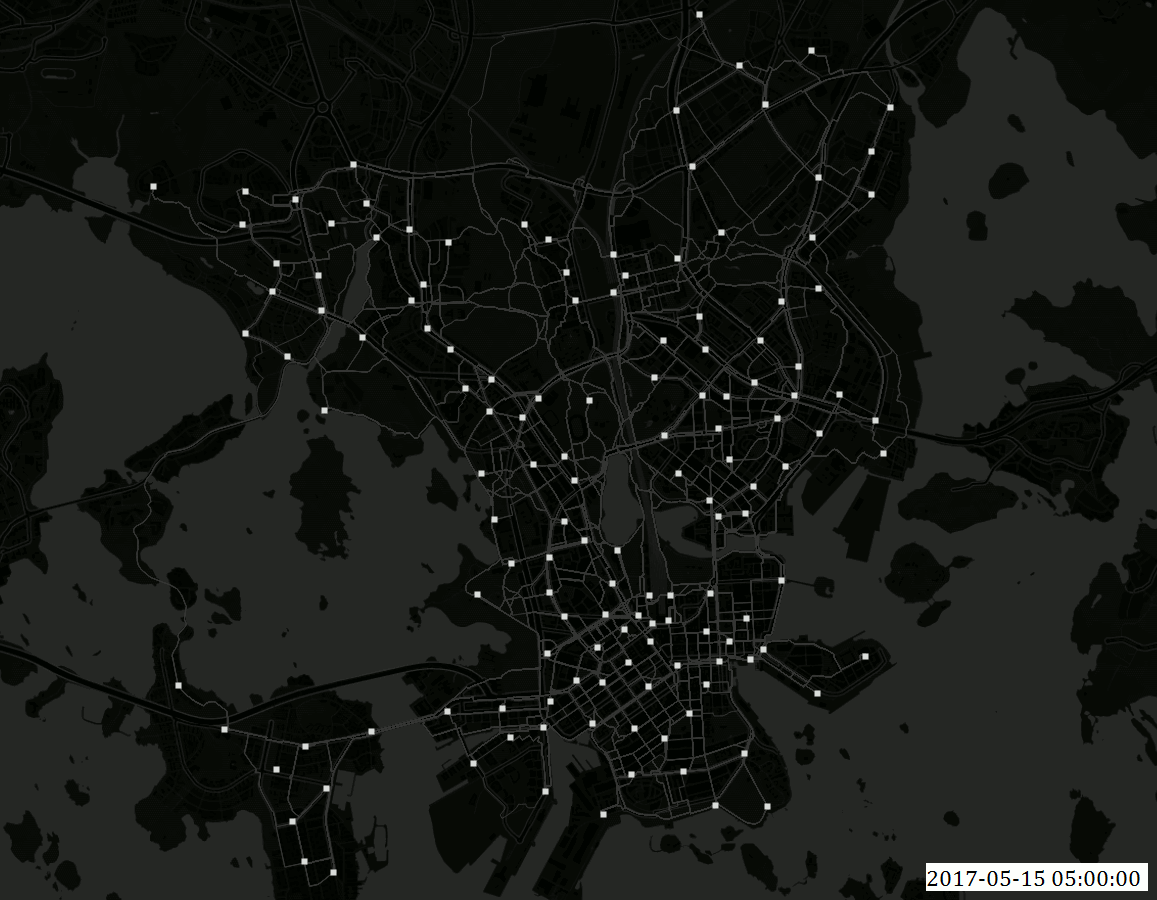
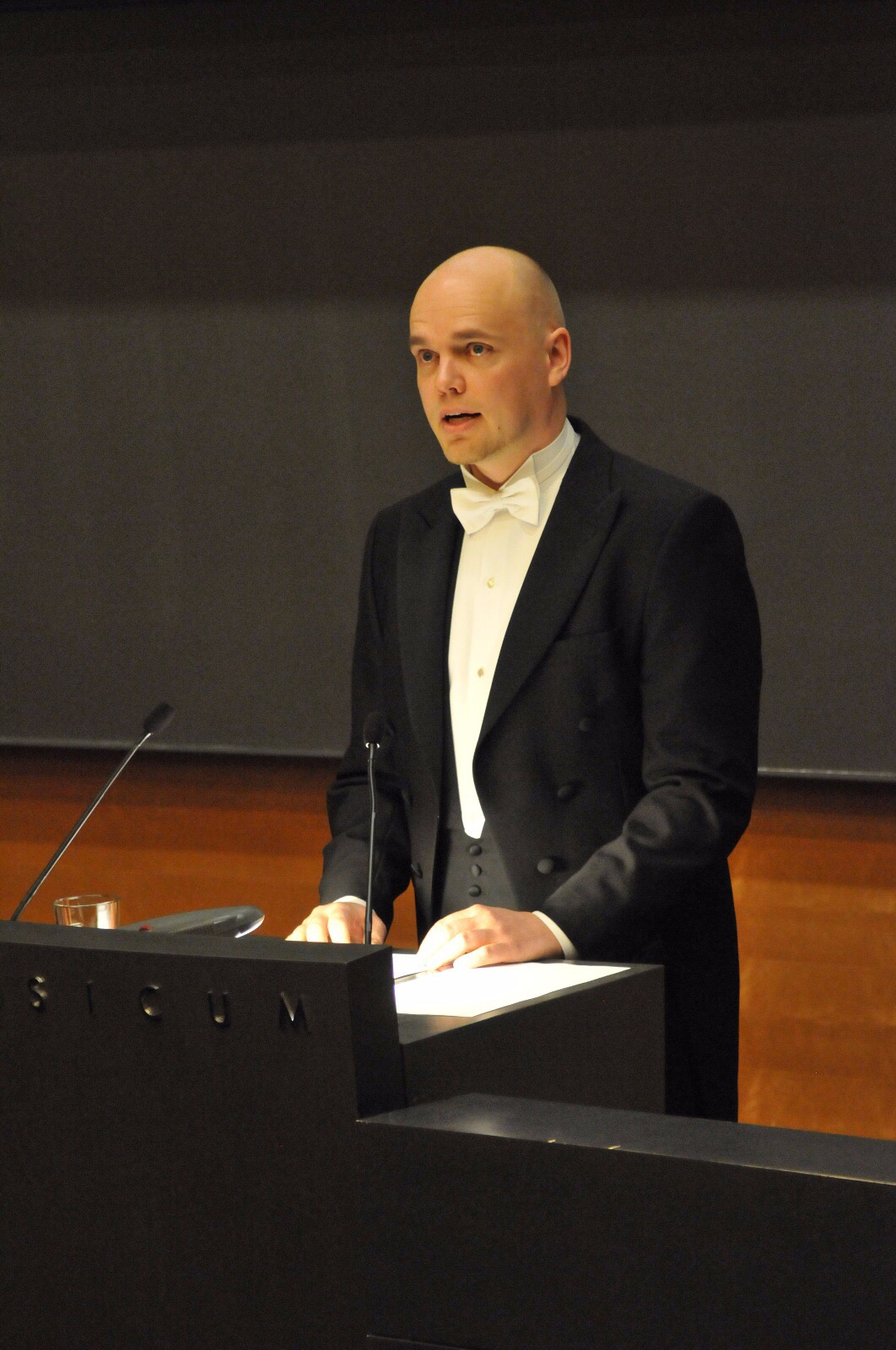
This course builds around Henrikki Tenkanen’s PhD-thesis titled “Dynamic Analysis of Accessibility and Mobility – Novel Approaches to Support Planning with Open Data and Tools“.

It will offer a possibility to be a part of the PhD defense process and to learn a lot about state of the art accessibility modelling and mobility analyses. The course consists of several meetings, course readings and discussions. In the kick-off meeting the course practicalities will be introduced. Minisymposium on accessibility brings together researchers and planners to discuss accessibility modelling using novel data sources. Shadow Defense works as a final rehearsal for Henrikki following the structure of the actual defense but with students being the opponents. The culmination of the course will be the actual defense with prof. Robert Weibel from the University of Zurich working as the opponent. Thoughts and ideas will be wrapped up in the last meeting of the course on the following week of the defense.

Schedule:

  • 3.11. klo 10-12 (Physicum D112), Introduction to the course 
  • 9.11. klo 12:30-16 (Physicum D101) Mini-symposium on Accessibility analyses using novel data sources
    • See the event page and register here
  • 14.11. 12-16 (Physicum A115), Shadow defense with students making questions to Henrikki
  • 17.11. 12-16 (Physicum D101), The PhD defense 
  • 21.11. at 10-12 (Chemicum A128), Wrap up & discussion

Credits

This 2 credit point pop-up -course can be included to the course GEOG-328 Topical issues in geoinformatics (5 cr), or it can be one task in the GEOG-406GIS in Society course. Individual pieces (shadow defense, symposium, defense) can also be included in the GEOG_G338 Advanced Seminar of Geoinformatics. Please note, however, that participation can be counted only in one course!

Registration 

The registration to the course is done by enrolling to this Moodle area: https://moodle.helsinki.fi/course/view.php?id=26393#section-0

The registration key is “Henkasta_tohtori!

Course completion

Participation to every course meeting is obligatory. Students will also need to read the provided course materials (Henrikki’s thesis, including a summary part and 5 scientific articles + 4-5 other scientific articles by the opponent and the presentators of the minisymposium).

Before the shadow defense students form journal groups. Each group chooses 2 articles from the thesis of which they discuss together and form questions that are presented to Henrikki in the shadow defense. The group reports their questions and findings how these questions were answered.

Evaluation

The course is evaluated on a scale pass-fail

Course Teachers

Henrikki Tenkanen, Tuuli Toivonen, Elias Willberg, and all participants!

Contacts  

tuuli.toivonen@helsinki.fi & elias.willberg@helsinki.fi