Prof. Mei-Po Kwan from the Chinese University of Hong Kong on Friday 24.11. (13:15 – 14:45) taking place in Porthania PIII, University of Helsinki.
You can join in person or online. Some wine will be served after the presentation 😊
Please register here to get the online link or a glass of wine onsite!
Title: Big Data and Geospatial Technologies for Health Research
Abstract: The rapid development and widespread use of advanced geospatial technologies such as GPS, remote sensing, mobile sensing, and location-aware devices in recent years have greatly facilitated the acquisition of enormous amounts of high-resolution space-time data. To build smart and healthy cities, we need to integrate these multi-source geospatial big data acquired by earth observation technologies and mobile sensing technologies to provide more accurate assessments of individual exposures to environmental or social risk factors, and to develop planning policies to improve health for all. In this presentation, I will discuss how these new developments can provide new insights into the relationships between people’s mobility, health behaviors, and the complex spatiotemporal dynamics of environmental influence Drawing upon my recent projects on individual exposures to green/blue spaces, light-at-night, and air and noise pollution, I explore how the collection, integration, and analysis of high-resolution space-time data enabled by advanced geospatial and mobile technologies (e.g., real-time mobile sensing and GPS tracking) can help identify the “truly relevant geographic context in space and time” and provide new insights into the relationships between human health, people’s daily mobility, and the complex spatiotemporal dynamics of environmental influences.
Speaker’s Bio: Professor Kwan Mei-Po is Director of the Institute of Space and Earth Information Science, Director of Institute of Future Cities, Choh-Ming Li Professor of Geography and Resource Management, and an affiliated faculty of the JC School of Public Health and Primary Care of the Chinese University of Hong Kong. Prof. Kwan is a Fellow of the United Kingdom Academy of Social Sciences, Fellow of the American Association for the Advancement of Science (AAAS), Fellow of the Royal Geographical Society and American Association of Geographers and a Guggenheim Fellow. She was awarded many Outstanding Academic Achievement Awards by the American Association of Geographers, including the Distinguished Scholarship Honors, the Anderson Medal of Honors in Applied Geography, the Wilbanks Prize for Transformational Research in Geography, the Stanley Brunn Award for Creativity in Geography, the Edward L. Ullman Award for Outstanding Contributions to Transportation Geography, and the Melinda Meade Award for Outstanding Contributions to Health and Medical Research. Prof. Kwan has received research grants of more than USD 62.7 million and has delivered about 380 keynote addresses and invited lectures and presentations in more than 20 countries. Her recent projects examine the health impacts of individual environmental exposure (e.g., noise, air pollution, green space), urban and mobility issues, the space-time dynamics of the COVID-19 pandemic and the perception of data privacy; and the protection of geoprivacy via the development of a Geospatial Virtual Data Enclave (GVDE).
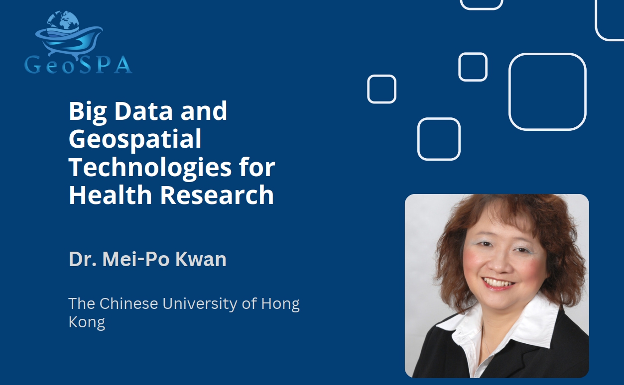
This talk is part of the activities of the Location Innovation Hub and the Finnish University Network for Geoinformatics (FIUGINET) GeoSPA Talks series.
– – – – –
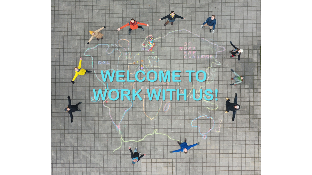
The Digital Geography Lab is an interdisciplinary research team focusing on spatial Big Data analytics for fair and sustainable societies at the University of Helsinki.

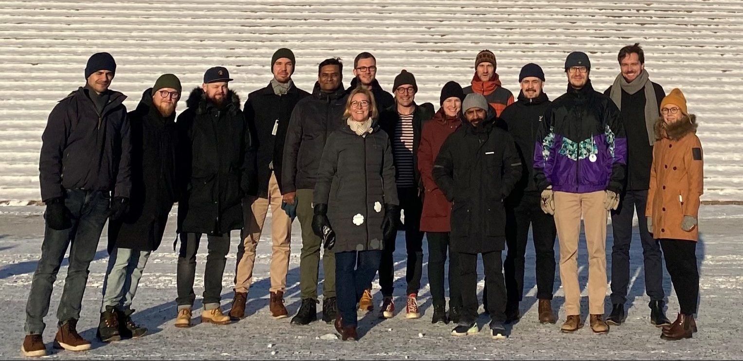
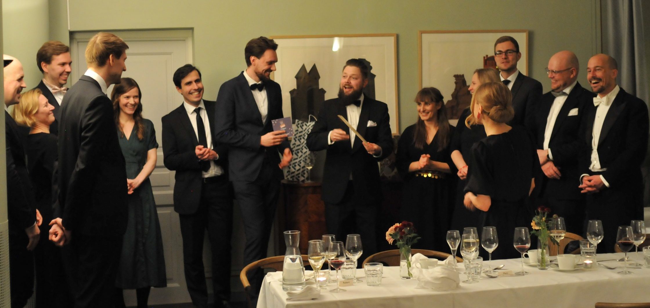
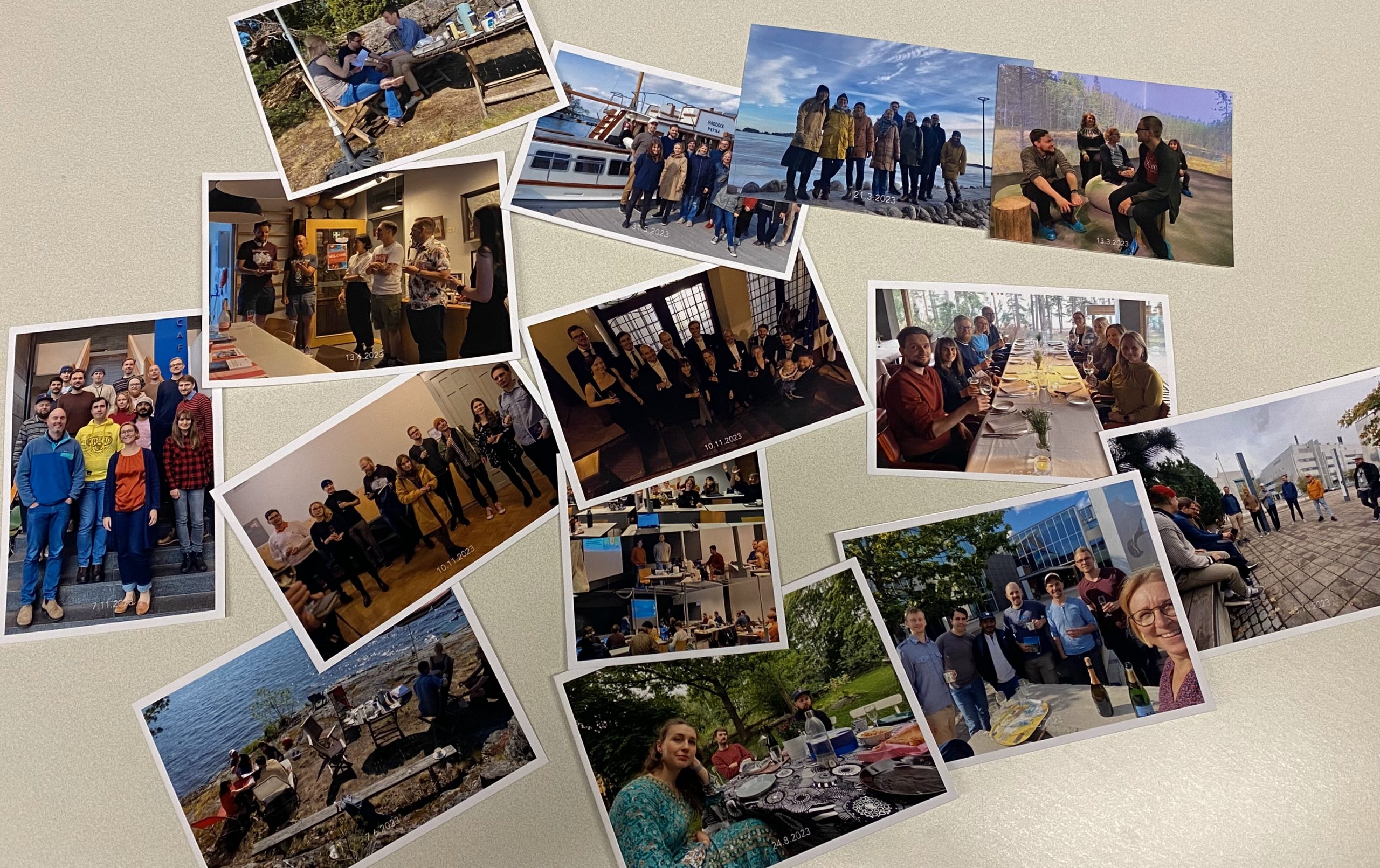 The year has been a blast with many joyful and productive moments together!