Meet Xiao Cai, a visiting MSc student from University of Tartu

We are happy to introduce Xiao Cai, a geoinformatics MSc student from the University of Tartu. Xiao is visiting the Digital Geography Lab this spring, from February to May 2024, to study the influence of road environments on cyclists’ route choices in Helsinki and finalize his thesis. We had a mini-interview with Xiao to learn more about his previous and future research.

Xiao Cai presenting his research


Who are you, and what is your role at your home university? 

My name is Xiao Cai, with a mixed academic background of urban planning, geoinformatics, and artificial intelligence (AI). I am currently doing a master’s program in Geoinformatics at the University of Tartu and expect to graduate in June this year.

Please introduce your research topic.

I am a big fan of urban informatics with a dedicated focus on AI approaches to uncovering urban mobility mechanisms using emerging geospatial big data. I was exposed to AI methodologies in 2022 by taking a machine learning course, but since then I have been highly motivated to leverage this powerful technique in urban mobility analyses. Up to now, I produced two papers in this regard – the one is to mine the hidden spatiotemporal characteristics of bike-sharing travel patterns using the k-means++ clustering algorithm, and the other one is to examine the non-linear associations of built environments with demographic-specific bike-sharing usage using the gradient boosting decision tree algorithm. In the near future, I would like to explore more possibilities of using AI methodologies (machine learning or neural networks) to understand the hidden patterns of population dynamics and potential causes. I am also looking forward to exploring more big mobility data (e.g., mobile phone data, smartcard data, e-scooter data, taxi data, etc.) as I am always excited when working with data.

Continue reading “Meet Xiao Cai, a visiting MSc student from University of Tartu”

Meet Matti Hästbacka, a Doctoral Researcher in the MOBICON project

We are excited to introduce Matti Hästbacka! 🙂 Matti works as a Doctoral Researcher in the MOBICON project (Mobile Big Data for Understanding People in Nature). Check out our mini-interview with Matti to learn more about his research and interests.

Matti's profile photo


Who are you and what is your position at the University?

My name is Matti Hästbacka, and I’m a Doctoral Researcher in the MOBICON project (Mobile Big Data for Understanding People in Nature) at the Digital Geography Lab. In my thesis, I employ mobile big data and novel methods to understand the changing carbon footprint of nature-based tourism.

In what kind of positions have you worked prior to joining University?

I graduated with an MSc in Geography from the same department where I’m currently working. In my MSc studies, I majored in Geoinformatics, but I tried to make the most of academic freedom throughout my studies, and ended up studying a lot of different things, ranging from Natural Language Processing and statistics to Latin American studies. To me, the ability to study a wide variety of courses has been the best part of my studies so far. In my MSc thesis, I used Flickr data and spatial analysis coupled with computer vision methods to understand the importance of nature for tourists visiting the Canary Islands.

At the same time, I’ve been working in the Emergency Medical Services field as a planner.

Continue reading “Meet Matti Hästbacka, a Doctoral Researcher in the MOBICON project”

Meet Kofoworola Modupe Osunkoya, a visiting PhD Researcher from Tallinn University of Technology

We are excited to introduce Kofoworola Modupe Osunkoya, a visiting PhD Researcher from the Urban Spatial Analytics research group at Tallinn University of Technology (TalTech). Modupe is visiting us at the Digital Geography Lab from November 2023 to June 2024 to study urban vitality through social media activity. Check out our mini-interview with Modupe to learn more about her research and interests.

Kofoworola Modupe OsunkoyaWho are you, and what is your role at your home university?

I am Kofoworola Modupe Osunkoya, a PhD Researcher in the Future Smart City project, Urban Spatial Analytics research group at the Department of Architecture and Urban Studies, Tallinn University of Technology, Estonia. I am also an Urban Spatial Analyst with vast experience in planning, designing, and executing sustainable urban mobility.

I obtained two (2) Master’s degrees: Urbanism and Strategic Planning from Katholieke Universiteit Leuven (KU Leuven), Belgium, and Transportation Science from Hasselt University, Belgium. My current focus within the Future Smart City project revolves around exploring ‘smart’ urbanity, new mobility concepts, and the development of sustainable urban futures.

Specifically, my role in the project entails investigating “New Urban Design and Analysis Methods for Transforming Mobility and Urban Morphology.” My research interests lie at the intersection of New Urbanism, Transport Planning, and Urban Planning, where I am passionate about advancing innovative approaches to address contemporary urban challenges.

Please introduce your research topic.

My PhD thesis “Re-discovering Urban Vitality Measurement for Cities in Digital Transition” studies urban vitality in digitalizing cities, its tradition, current and potential measuring methods, and how (big) data can be applied to better recognize vital areas and support their emergence via urban planning and governance. I have combined multi-sourced data, such as mobile phone and traditional data (socio-economic, mixed-uses, population), to analyze the vital urban places and changes over time and space in Tallinn, Estonia.

Continue reading “Meet Kofoworola Modupe Osunkoya, a visiting PhD Researcher from Tallinn University of Technology”

Sharing our Lab Handbook

Research groups are the basic unit of research in many research fields in universities. At the University of Helsinki alone we have hundreds of research groups. Still, almost all groups invent their everyday practices from scratch.

A couple of weeks ago, we at Digital Geographic Lab organized again our yearly development day. There, we decided to share some of our practices publicly in the form of a lab handbook. So here comes:

Digital Geography Lab Handbook 2024 (note: updated 20.2.2024)

The practices have been developed over the years through suggestions of many past and present lab members.

We hope that sharing them will be useful to some other research labs/groups, or those just starting their own group ❤️

– – –

The Digital Geography Lab is an interdisciplinary research team focusing on spatial Big Data analytics for fair and sustainable societies at the University of Helsinki.


GREENTRAVEL project well represented at the People and Planet Conference in Lahti

After kicking off the GREENTRAVEL project (“Greener Urban Travel Environments for Everyone: From Measured Wellbeing Impacts to Big Data Analytics”) in 2023, the project team is in full speed with advancing various project activities and working towards attaining first project results. Some of these will be presented at the People and Planet – from Theory to Solutions Conference, which takes place on 13–15 February 2024 in Lahti, Finland. The GREENTRAVEL project team will participate at the conference in various ways.

🟡 Doctoral Researcher Robert Klein will be giving an oral presentation in the session “Transformation towards healthy and sustainable mobility” on Wed Feb 14, 13:00. In his study “Capturing seasonality in urban travel environment greenery throughout Europe”, he demonstrates how accounting for seasonal variation can influence which cities can be deemed more green or less green.

🟡 Technical expert Roope Heinonen will be presenting a poster on his recent advancements with the Green Paths 2.0 tool, which helps users to find healthier routes and displays environmental exposure along the way. The new version focuses on making the tool more widely applicable in different cities and for new kinds of exposure. The poster presentation takes place on Wed Feb 14, 14:20-15:20, and posters will be visible throughout the whole conference. See the poster below!

🟡 Postdoctoral Researcher Silviya Korpilo will be hosting a discussion session in a world café setting on Wed Feb 14, 16:30-17:15. There, all interested conference attendees can join in to get familiar with and discuss about ongoing research in the newly established Finnish Nature and Health Research Network (LuontoTerVe).

Continue reading “GREENTRAVEL project well represented at the People and Planet Conference in Lahti”

URBANAGE project closing

Authors: Tuuli Toivonen, Christoph Fink, Elias Willberg

For the past 2.5 years, the Digital Geography Lab has participated in the international H2020 consortium URBANAGE that is coming to its end now in January 2024.

Europe’s rapidly aging population and the rise of disruptive technology in urban planning were at the pivot point of the URBANAGE project. Urban planning needs to better take into account the needs of a growing older population, and advances in technologies make more evidence-based urban policy come into reach. The project focused on how Digital Urban Twin technology could be used to assist planning for age-friendly cities. It was carried out at three pilot sites across the European Union, namely the cities of Helsinki and Santander, and the region of Flanders. The main partners in Helsinki were Forum Virium Helsinki and the University of Helsinki. Postdoctoral researcher Christoph Fink has been our key researcher in the project, while Elias Willberg worked in more targeted tasks.

The project informed its research in a co-creation effort that aimed to learn from lived experience. Most relevantly, we inquired what factors are important for improving the accessibility and mobility of older adults in future cities. The project then developed a dashboard to collect spatial information on the age friendliness and to expand and advance the toolbox planners need for improved solutions, for example with accessibility or green comfort in mind.

The Digital Geography Lab contributed to the project in a variety of ways. Our biggest contribution was to explore the mobility environment of older people at the scale of urban areas. We employed both a conceptual and an analytical perspective, and critically examined the role of technology in doing so.

In one of our studies, we empirically examined the impact of winter conditions on older adults’ mobility landscapes. We produced valuable information for age-sensitive routing, and challenged the simplicity of the “15-minute city” concept, suggesting to better consider the varying realities of urban residents (Willberg, Fink & Toivonen, 2023).

Continue reading “URBANAGE project closing”

Meet Ashish Shete, a new Technical Assistant in the GREENTRAVEL project

We are happy to introduce Ashish Shete! 🙂 Ashish joined the Digital Geography Lab in December 2023 to work as a Technical Assistant in the GREENTRAVEL project. Check out our mini-interview with Ashish to learn more about him and his research.

Ashish in a snowy forest

Who are you, and what is your role at the University?

I am Ashish Shete, and I have recently relocated to Finland from Pune, India. Since mid-December 2023, I work as a Technical Assistant at the Digital Geography Lab, University of Helsinki. My current role involves contributing to the GREENTRAVEL project, which focuses on studying urban travel environments’ greenery from diverse perspectives. Specifically, my task is to design and develop the VR setup for this project. This setup will help creating controlled environment to analyse effects of green travel environments on people and the relevance of various greenery features, also considering the seasonal variations.

In what kind of positions have you worked prior to joining University?

I have over a decade of experience in Visualization and CAD software development. My expertise spans software development in domains such as shipping, oil-field exploration, and BIM. I have crafted immersive experiences like 3D visualizations, walk-throughs and animation while working in collaborative settings within both multinational corporations and startup environments. I hold a master’s degree in automotive engineering. Continue reading “Meet Ashish Shete, a new Technical Assistant in the GREENTRAVEL project”

Wrapping up a successful and exciting year 2023!

It’s time to wrap up the year 2023 – and what a year it has been for Digital Geography Lab! We’ve kick-started new research, but have also picked the fruits of many long-term projects.

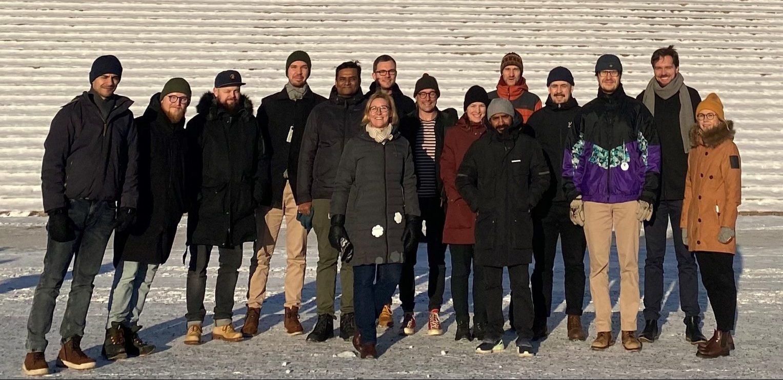
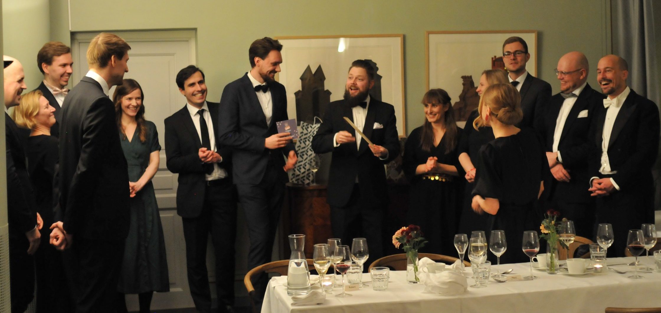
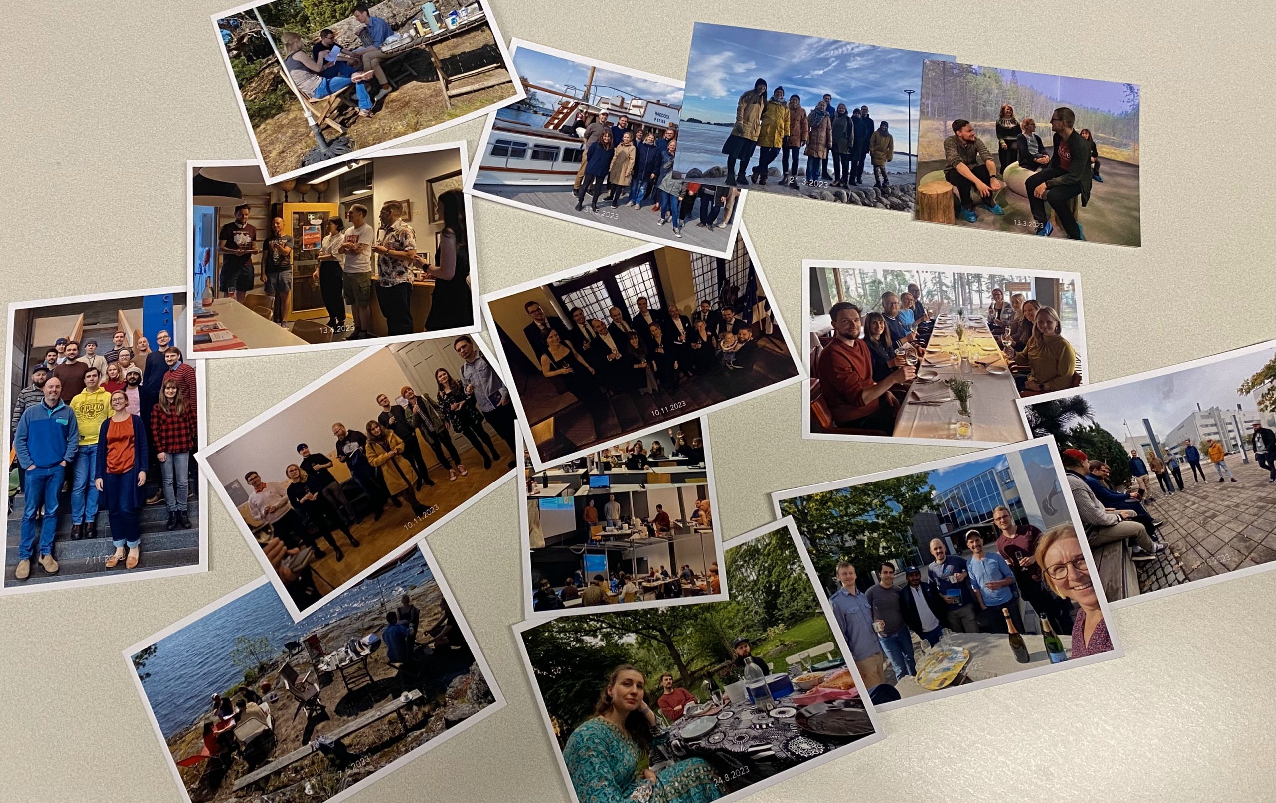
The year has been a blast with many joyful and productive moments together!

New big projects started!

Our lab has been running, or participating in, altogether 12 projects. Tuuli Toivonen’s new ERC Consolidator grant project GREENTRAVEL started early this year and now the team is full and in full speed. Also new H2020 project MOBITWIN has just been kicked off, with Olle Järv leading a work package. At the end of the year, we are finalizing projects MAPHEL by Tuomo Hiippala and H2020 project URBANAGE where Christoph Fink has made a lion’s share. Olle’s  BORDERSPACE and Tuuli’s MOBICON projects and the Urban AirQuality 2.0 consortium continued in full force, while Johanna Eklund‘s Sustainable conservation outcomes for protected areas was more on hold during her maternity leave.

We also received new funding! We are now part of a big national Location Innovation Hub. Tuuli is part of MSCA Doctoral network VIMAS, which is just recruiting 10 PhD candidates across the northern Europe to explore the questions of outdoor recreation and tourism. Olle received positive funding decision also as part of the WinWin4Worklife consortium which is set study questions of remote work arrangements from 2024 onwards. Related to the new projects, we have three positions currently open.

Continue reading “Wrapping up a successful and exciting year 2023!”

BorderRegion_KDE – A tool to capture cross-border regions from mobility

Authors: Michaela Söderholm & Olle Järv

One of the objectives of the BORDERSPACE project is to empirically capture functional border regions, and transnational spaces in general, from the perspective of people – their mobility and social interactions across country borders. Our first studies showed how novel big data sources can reveal cross-border mobilities of people (Järv et al. 2023), and how that enables to map functional cross-border regions (Aagesen et al. 2023).

To scale up our approach and focus on all functional border regions in Europe, we needed a tool to automate multiple border region calculations. Thus, we developed BorderRegion_KDE – a program to automatically calculate a geographical Kernel Density Estimation (KDE) polygons derived from cross-border mobility, and visualize them.

Read more from our story map (HERE or click the map, below).

Interested in our project?

Read more from our project page: BORDERSPACE and get in contact! The project focuses on studying cross-border mobilities and interactions, transnational people, and functional transnational spaces. The novelty of the project stems from the use of novel big data sources to provide valuable insights for cross-border research and practice. The project is carried out at the Digital Geography Lab — an interdisciplinary research team focusing on spatial Big Data analytics for fair and sustainable societies at the University of Helsinki.

Friendship matters: Facebook connections explain forced migration patterns of Ukrainians in Europe

The full-scale Russia’s invasion caused unprecedented migration of Ukrainians, fleeing from active warfare events in the Northern, Eastern, and Southern Ukraine. Unlike the more ‘local’ Russo-Ukrainian war that started in 2014, which caused predominantly internal displacement of citizens, the full-scale invasion on 24 February 2014 resulted in more extensive migration abroad, first and foremost – to the EU countries. In our Internet era, this massive influx of asylum-seekers, refugees and other externally displaced persons (the exact status of such Ukrainian citizens varies from country to country) could not go unnoticed online.

Matti Moisala carried out and defended his MSc study “Mobility of Ukrainians to Europe in 2022 and the effect of social connectedness on destination choice” in our Digital Geography Lab. Matti’s work contributed to the BORDERSPACE project and was supervised by Olle Järv, Oleksandr Karasov, and Tuuli Toivonen. The hypothesis of the study was that the destination choice of Ukrainians depends on their previous social network in the European states, indicated by the Facebook social connectedness index and that Twitter data reflects the actual distribution of Ukrainians among countries.

The social connectedness index describes the relative probability of Facebook friendship links between different geographical areas. While intentionally unavailable for some temporarily occupied regions of Ukraine or connections between Ukraine and Russia, the social connectedness index provides a promising proxy of the strength of social relationships among communities worldwide. According to Figure 1, pre-invasion social connectedness was the strongest with Poland, Czech Republic, Slovakia and Hungary, and three Baltic states: Estonia, Latvia, and Lithuania. Ukraine is least socially connected with the UK, France, the Netherlands, Iceland, Norway, Romania, and Turkey.

Continue reading “Friendship matters: Facebook connections explain forced migration patterns of Ukrainians in Europe”