New article out: Health research needs more comprehensive accessibility measures

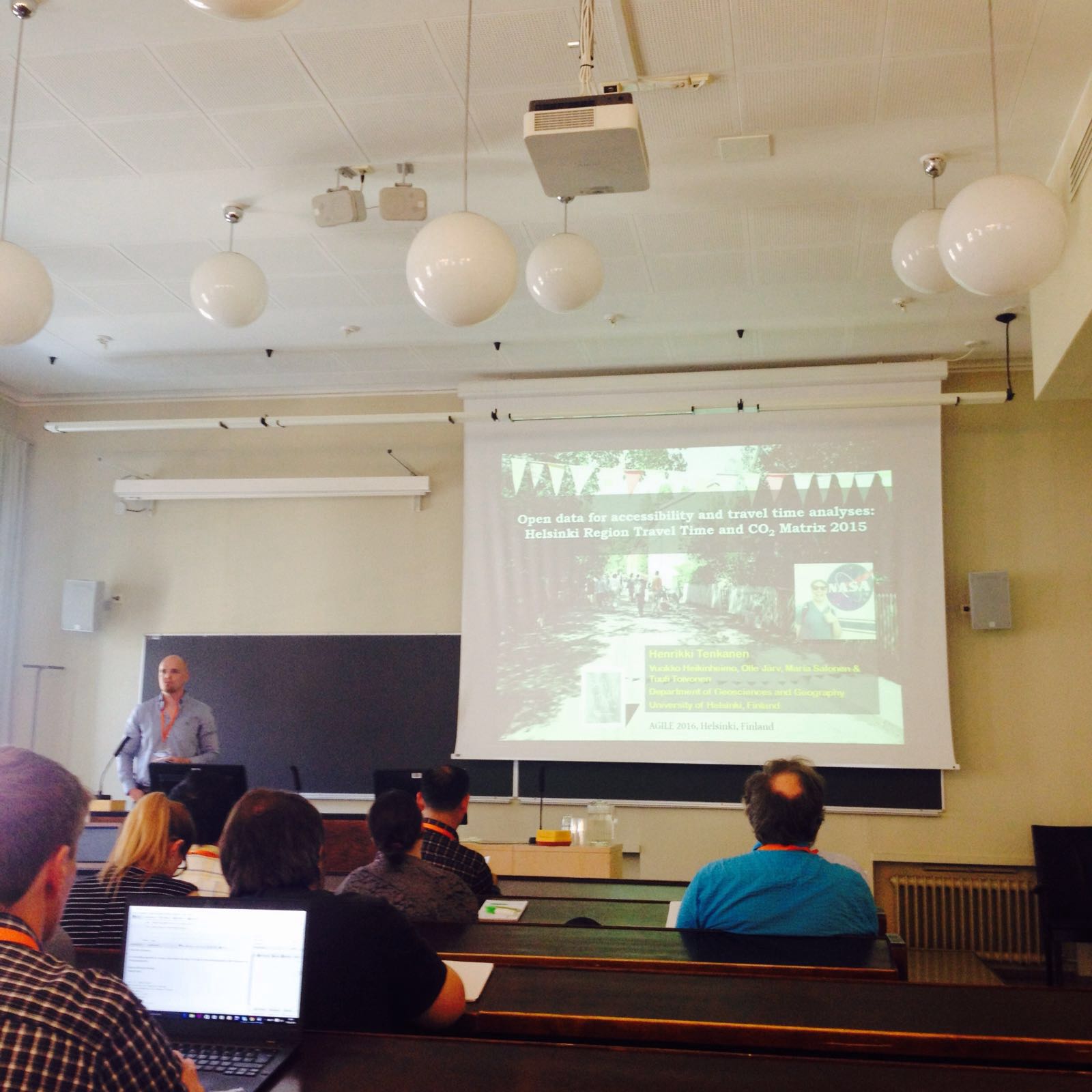
In our new article “Health research needs more comprehensive accessibility measures: integrating time and transport modes from open data” we discuss and demonstrate why and how both temporality and multimodality should be integrated in health related studies that include accessibility perspective. We provide evidence regarding the importance of using multimodal spatio-temporal accessibility measures when conducting research in urban contexts. In our case, we study the healthy food accessibility in Helsinki metropolitan area.

Our results show that both time and mode of transport have a prominent impact on the outcome of the analyses; thus, understanding the realities of accessibility in a city may be very different according to the setting of the analysis used. Neglecting time and (multiple) transport modes from spatial analyses may lead to overly simplified or even erroneous images of the realities of accessibility. Hence, there is a risk that health related planning and decisions based on simplistic accessibility measures might cause unwanted outcomes in terms of inequality among different groups of people.

Article is open access and it was published in International Journal of Health Geographics. Read the full article here:
http://ij-healthgeographics.biomedcentral.com/articles/10.1186/s12942-016-0052-x

ARG participates Mobile Tartu 2016!

Accessibility Research Group and SoMeCon project is actively present in this years Mobile Tartu Conference. Tuuli gives a keynote on the use of social media data on mobility studies, Henrikki presents our works in Kruger National Park (SA) with social media data and Olle tells about dynamic accessibility modelling in urban environments. Vuokko is our guerilla poster representive! Greetings from Tartu!

ARG at the AGILE conference in Helsinki

Accessibility Research Group was actively present at  the 19th AGILE International Conference on Geographic Information Science in Helsinki, Finland. Henrikki Tenkanen gave a talk on our open data for accessibility and travel time analyses and Olle Järv presented a poster on dynamic accessibility modeling. See also the poster on social media data by the SomeCon-project!


IMG-20160615-WA0001
Henrikki Tenkanen giving a talk at the 19th AGILE conference.

IMG-20160617-WA0004
Olle Järv at the AGILE conference poster session.
IMG-20160615-WA0000
The 19th AGILE conference was held at the central campus of the University of Helsinki 14-17 June 2016.

New report on the use and impact of the Finnish libraries is out!

Kuntaliitto has published a report on the use and impact of the Finnish libraries. Chapter 8 with the title “Kirjaston vaikuttavuuden ulottuvuuksia lainausdatan ja kyselytutkimusten valossa” presents results by Jaani Lahtinen and Jouni Juntumaa, featuring also our data. See the full report (in Finnish) from here.

Travel Time Matrix: New version ready!

The Helsinki Region Travel Time Matrix for 2015 is now ready thanks to the efforts of Henrikki and Vuokko in particular! We are still testing the data and will make the official release in January 2016. If you need the data urgently during the holiday season, please contact Vuokko!

Big funding from the Kone Foundation!

Our group got, in collaboration with conservation scientists Enrico Di Minin and Anna Hausmann, a considerable funding to study the potential of social media data in spatial planning, mobility research and conservation science. With this funding we can hire one PhD student and one post-doc for 3-4 years. We are grateful and happy!

MetropAccess-Travel Time Matrix is being updated!

The Accessibility Research Group is currently working on updating the MetropAccess-Travel Time Matrix dataset! The matrix consists of travel time and travel distance information across the Helsinki Metropolitan Region by walking, public transportion and car. The dataset will be updated to represent the current time tables and transportation network (for example including the Ring Rail Line).

The updated matrix will be distributed on the project website later this fall. In the meanwhile, have a look at the original Travel Time Matrix available in the Data-section.

Stay tuned!

New paper out: Accessibility of urban aquatic environments using PPGIS method

In our new joint article with Aalto University (Department of Real Estate, Planning and Geoinformatics) we examine access to aquatic environments from the environmental justice perspective. Participation GIS (PPGIS) method was used to provide multifaceted knowledge on the person-based accessibility patterns related to aquatic environments. Our accessibility tools were used to model the accessibility to water areas with different travel modes.

Article was published in Landscape and Urban Planning. Read the full article here:
Comparing conventional and PPGIS approaches in measuring equality of access to urban aquatic environments