Joelin lektio 27.11.2020

Alueiden suojeluarvottaminen kaupunki- ja maakuntatason maankäytön suunnittelun tueksi

FM Joel Jalkasen Lectio praecursoria -puhe 27.11.2020
Public defence of Joel Jalkanen's PhD thesis
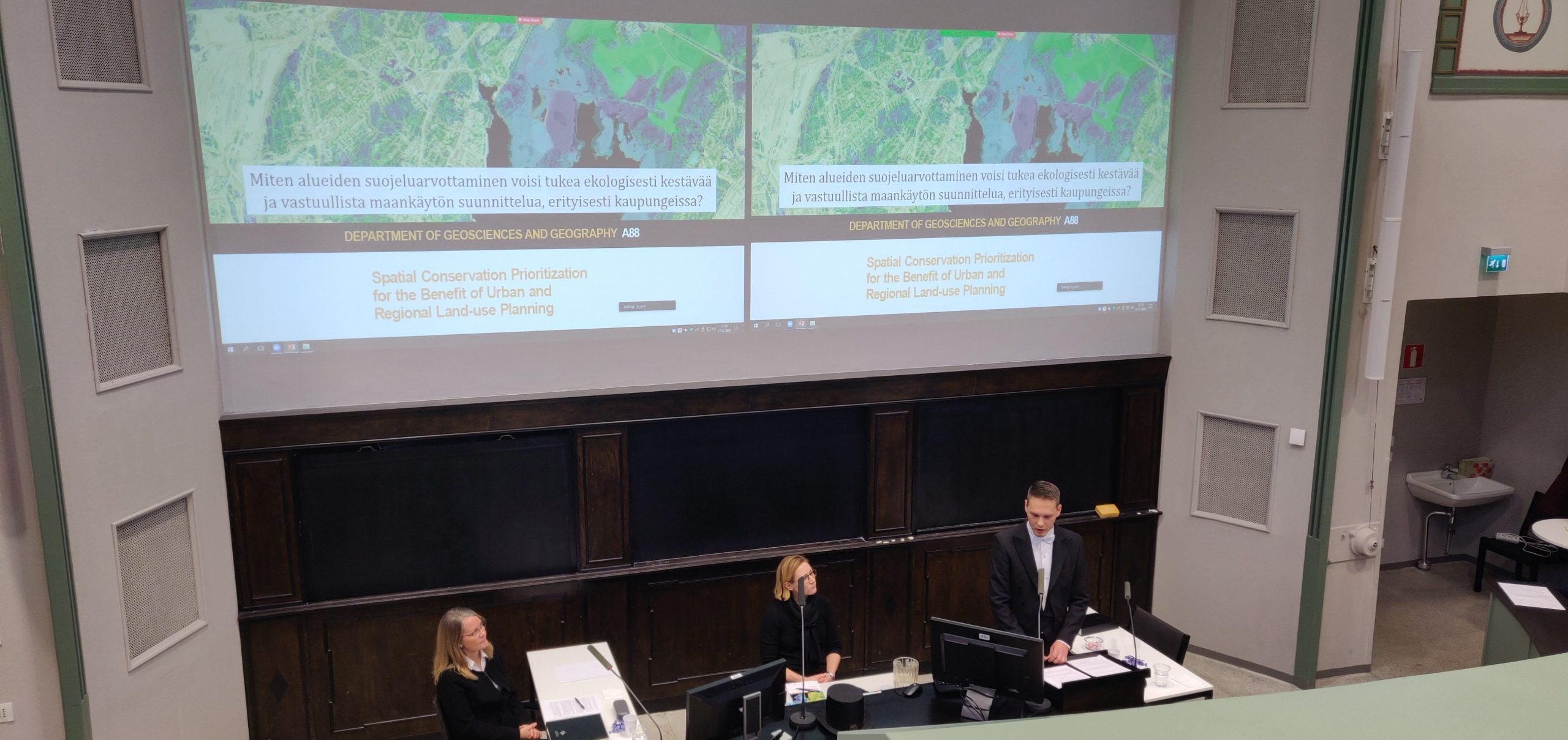
The opponent (Professor Niina Käyhkö), the custos (Professor Tuuli Toivonen) and the doctoral candidate (MSc Joel Jalkanen) in Athena hall 107 on 27th of November 2020

Arvoisa kustos, arvoisa vastaväittäjä, hyvät kuulijat

Me ihmiset aiheutamme toimillamme paraikaa massasukupuuttoa, joka uhkaa suurta osaa maailman elämästä. Tällä hetkellä selkeästi suurin uhka maapallon lajistolle on se, että ihmiskuntamme tuhoaa elinympäristöjä omien tarpeidensa alta.

Eri lähteistä toistuva viesti on selkeä ja kiistaton: tapamme käyttää maata on kestämätön.

Kuvaamani ongelma kilpistyy hyvin oheiseen kuvaan. Luonto esiintyy paikassa, ja samoin ihmisten intressit esimerkiksi ruuantuotantoon tai kaupunkien rakentamiseen kohdistuvat usein paikkaan. Siellä, missä toinen haluaisi perustaa luonnon puolesta suojelualueen, näkee toinen hyvän paikan uudelle asuinalueelle.

Tätä ristiriitaa ratkotaan maankäytön suunnittelulla. Siinä sovitellaan erilaisia paikkoihin kohdistuvia tarpeita ja intressejä ja tarkastellaan, miten niitä voidaan saavuttaa rajallisen fyysisen tilan puitteissa.

Continue reading “Joelin lektio 27.11.2020”

New paper out: Spatial prioritization for accessibility of urban parks

In our recent paper published in Applied Geography, we combine travel time modeling with spatial conservation prioritization to identify green areas that best serve the recreational use. We consider equitable access between urban dwellers, the need for various types of parks, and the use of various transport modes. The paper puts together approaches from conservation planning and accessibility research to support land-use planning decisions.

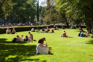
Green areas are important for urban residents. But how to prioritize between them? (Image by Angelo Giordano from Pixabay.com)


Spatial (conservation) prioritization is a way to identify “less” to “more important” places for conservation or other land uses based on multiple criteria. The outputs of the prioritization can be useful for locating optimal places for protection, for instance, or in our case, recreation. One of the major principles in spatial prioritization is complementarity, i.e. the attempt to secure the existence of all species and habitats (or, whatever is used as input data) in the prioritization process.

A spatial prioritization software Zonation, developed at the University of Helsinki, works as follows: It first takes the full study area under examination and checks how widely-distributed different input features are (be it multiple species, for example). It then takes away a small bit of the area; namely, the bit that corresponds the least to the total biodiversity in the area. Such areas would only harbor few species that are generally widely distributed. Zonation repeats these steps, checking the distributions and removing the least valuable areas, until the entire target area is completely ranked. The prioritization process is based on a ‘Robin Hood algorithm’ that always tries to take away from those species that have the most available areas at the corresponding iteration. This principle of complementarity results in high coverage of protected features compared to more traditional hotspot approach.

Continue reading “New paper out: Spatial prioritization for accessibility of urban parks”

A new paper about identifying large ecological networks for regional planning with Zonation

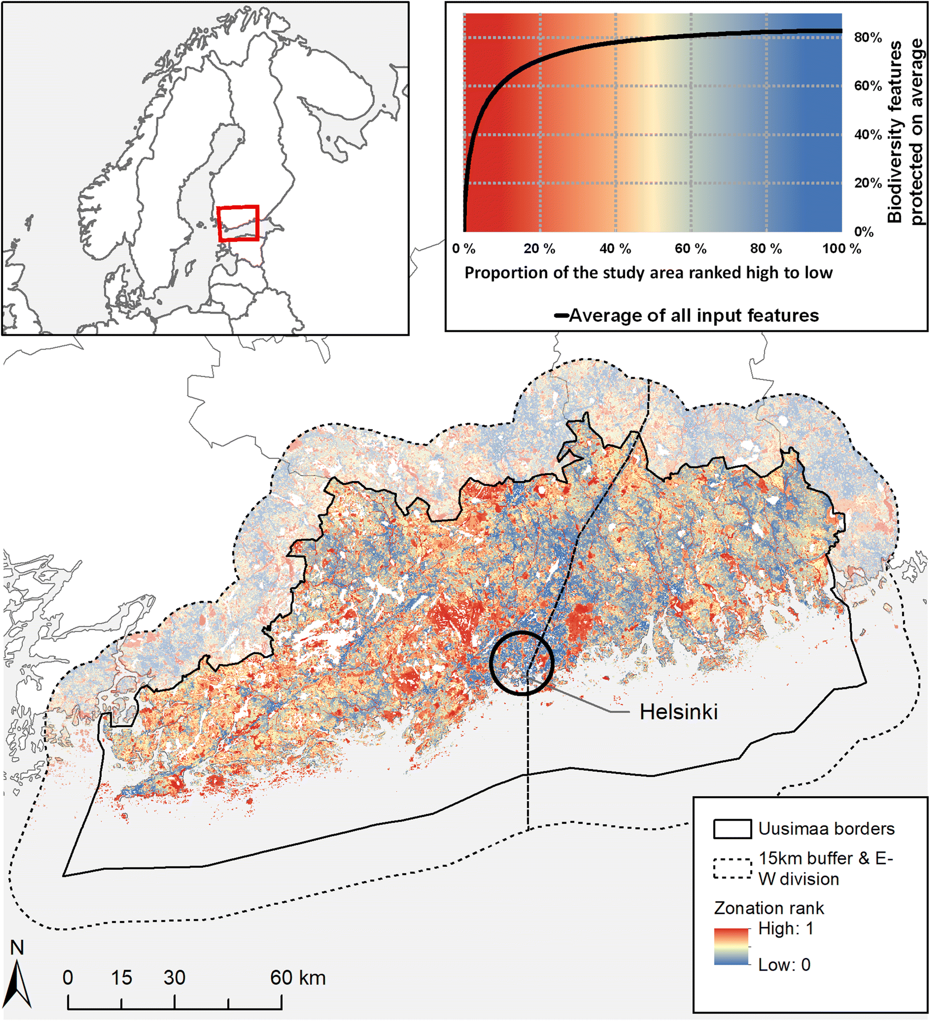
A new paper out! Study “Identification of ecological networks for land-use planning with spatial conservation prioritization” by Joel Jalkanen, Tuuli Toivonen, and Atte Moilanen has just published a study in the Landscape Ecology journal. In the paper, we describe the work where we identified large well-connected ecological networks and ecological corridors for the Regional Council of Uusimaa, an authority responsible for regional planning in the Uusimaa province in Southern Finland. We used the Zonation spatial prioritization software in a novel way for identifying large well-connected structures, and the rarely-used corridor retention tool in Zonation for identifying ecological corridors. Zonation has been previously used to support regional zoning in Uusimaa, and dozens on layers of biodiversity data was available in the area.

It is quite straightforward to identify local high-priority areas (such as areas of high habitat quality) from Zonation results. In the case of Uusimaa, biodiversity is greatly scattered and concentrated in the top-20% priority areas. Ensuring the regional-level connectivity would be, indeed, highly important.

https://media.springernature.com/original/springer-static/image/art%3A10.1007%2Fs10980-019-00950-4/MediaObjects/10980_2019_950_Fig1_HTML.png

Uusimaa has a strong human influence, and high-priority areas are scattered. Picture from the article.

Continue reading “A new paper about identifying large ecological networks for regional planning with Zonation”