Introducing the Digital Geography Lab (new webpages out!)

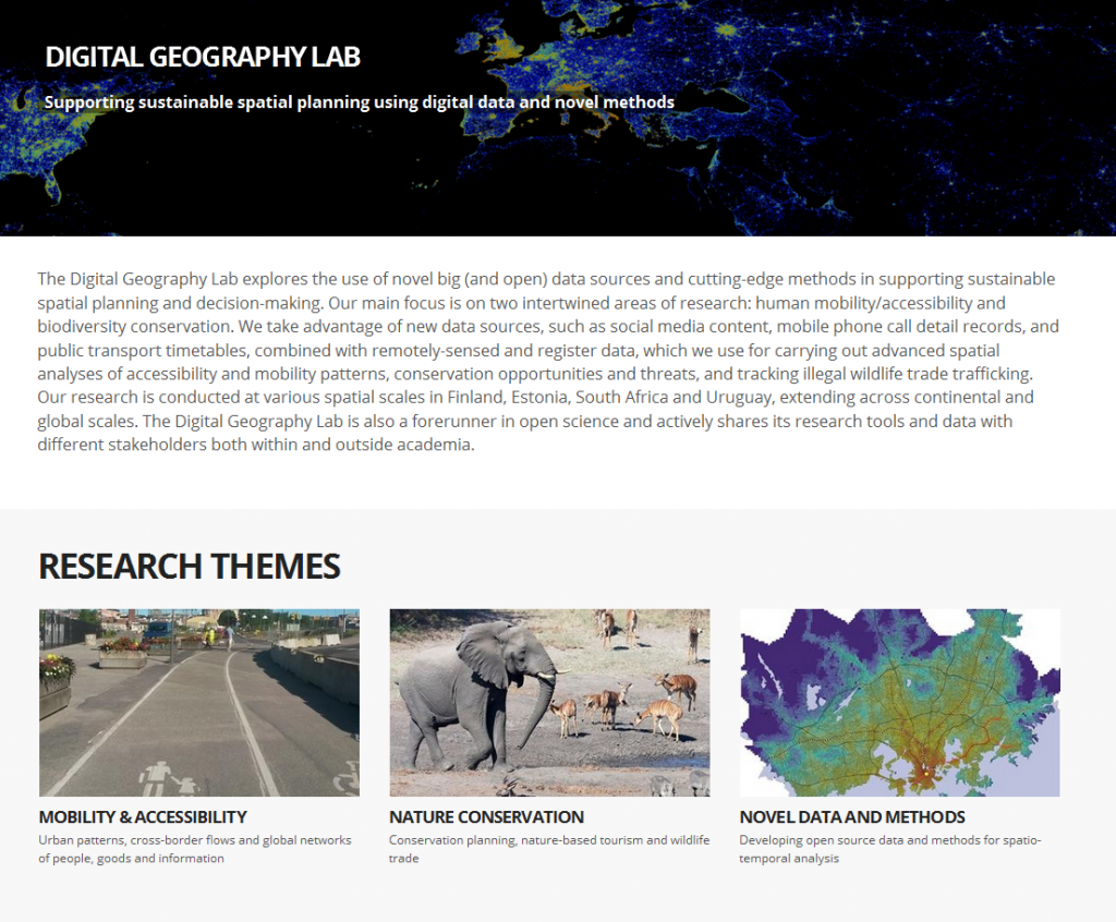
Our interdisciplinary research group has established new webpages at helsinki.fi/digital-geography. This blog (blogs.helsinki.fi/accessibility) will continue to serve as a channel for distributing news about our mobility & accessibility research and the tools and data developed in the MetropAccess projects.

The Digital Geography Lab, based at the Faculty of Science, University of Helsinki, includes researchers working around the themes of mobility, accessibility, nature conservation and the development of novel data and methods for spatio-temporal analysis. Read more from helsinki.fi/digital-geography and @digigeolab Twitter account!

New paper out!

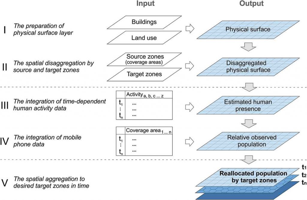
Enhancing spatial accuracy of mobile phone data using multi-temporal dasymetric interpolation paper by Olle Järv, Henrikki Tenkanen and Tuuli Toivonen has been published in the International Journal of Geographical Information Science. Check it out!

This is how Olle summarized the paper:

In brief, the paper highlights the need to give more attention to the uneven spatial resolution of mobile phone data which is one potential source of bias influencing research findings. To solve this, we are the first ones to apply an advanced dasymetric interpolation approach. Thus, we propose a generic multi-temporal function-based dasymetric interpolation method for mobile phone data, and demonstrate how it improves the spatial accuracy of mobile phone data as a proxy for people. The proposed method contributes also to the development of population modelling, at large.

Conceptual framework of the interpolation method for enhancing the accuracy of mobile phone data (Fig 2, Järv et al 2017)

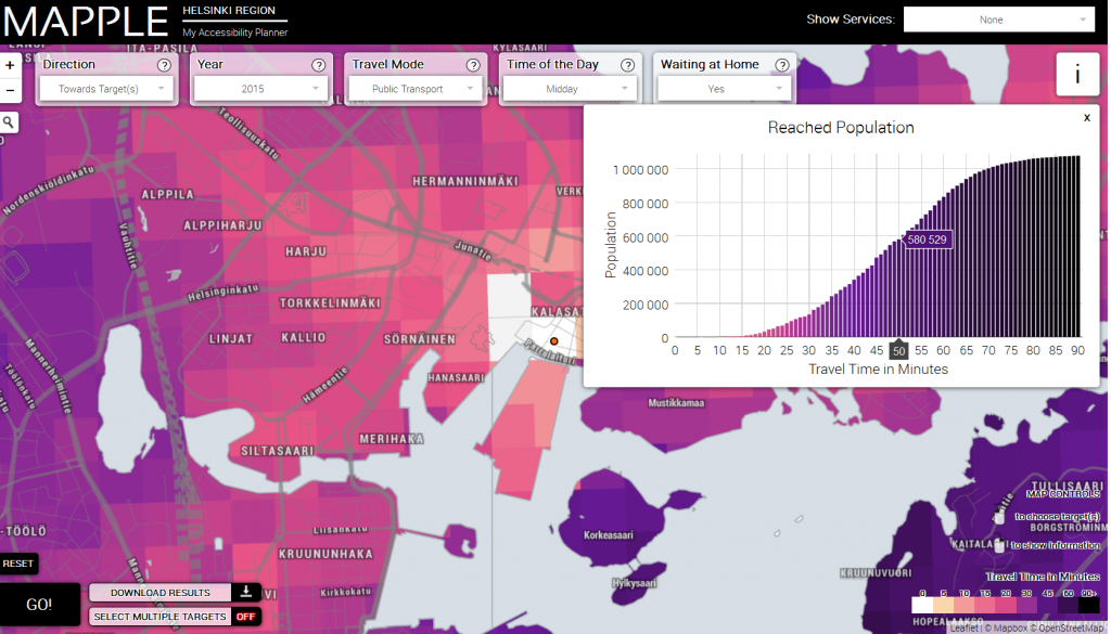
Interactive travel-time map Mapple!

The Helsinki Region Travel Time Matrix can now be observed via an interactive web map http://www.mapple.fi !

The interface allows you to inspect travel times in different modes of transport (public transport, car and walking) at different times of the day (rush-hour, noon) to and from locations of your own choise within the Helsinki Region.

The application was developed by Joona Repo, Rami Piiroinen and Henrikki Tenkanen, good job guys!

Autumn kick-off 2016

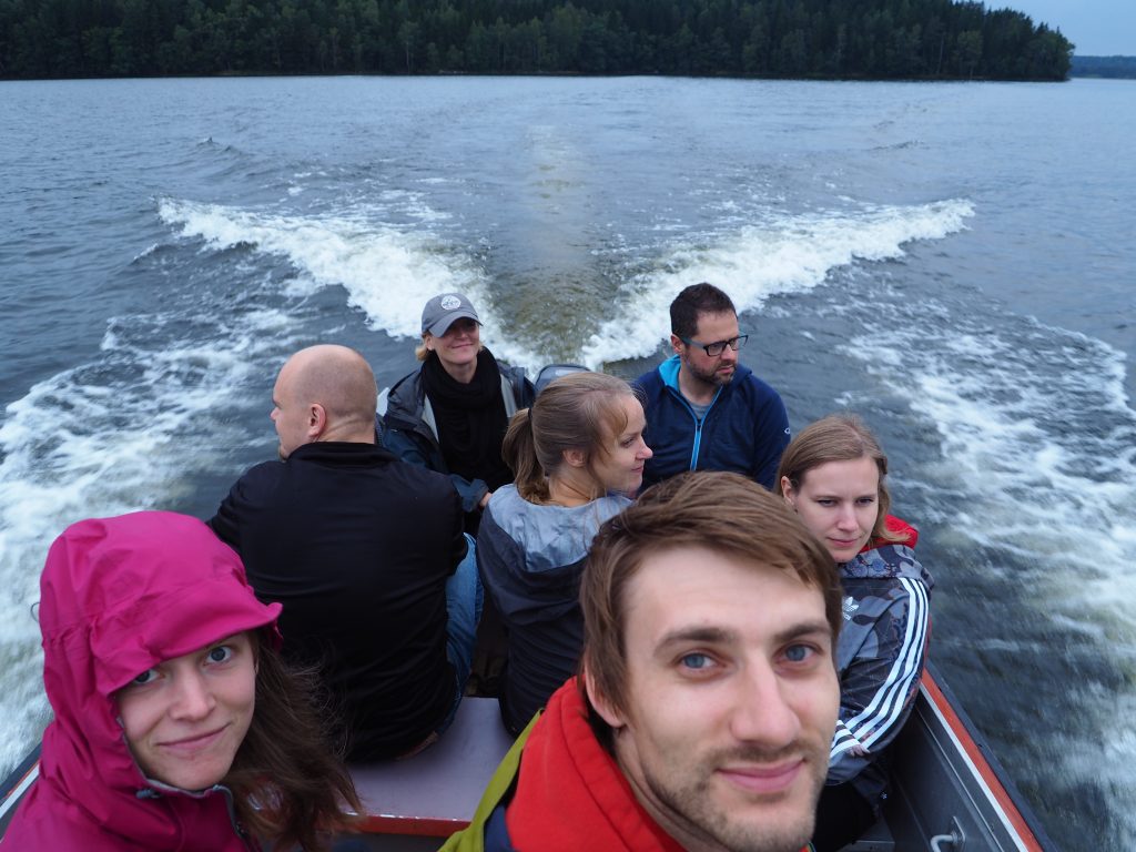
Accessibility Research Group and the SomeCon-project started the new academic year with a two-day getaway in Lohjanjärvi, Southern Finland!

The program included intensive brainstorming, goal-setting, mushroom-picking and listening to the silence of the lake.

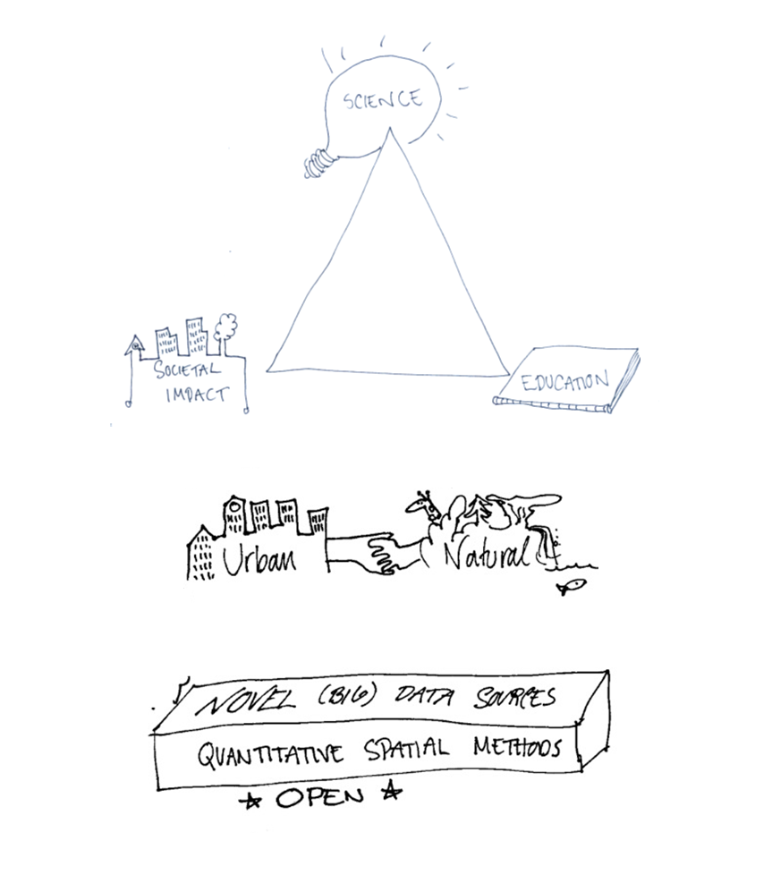
The upcoming year is anticipated to be interesting with new papers coming out, new people joining the team and interesting activities (conferences, teaching, workshops) coming up. TuuliDrawings

ARG at the AGILE conference in Helsinki

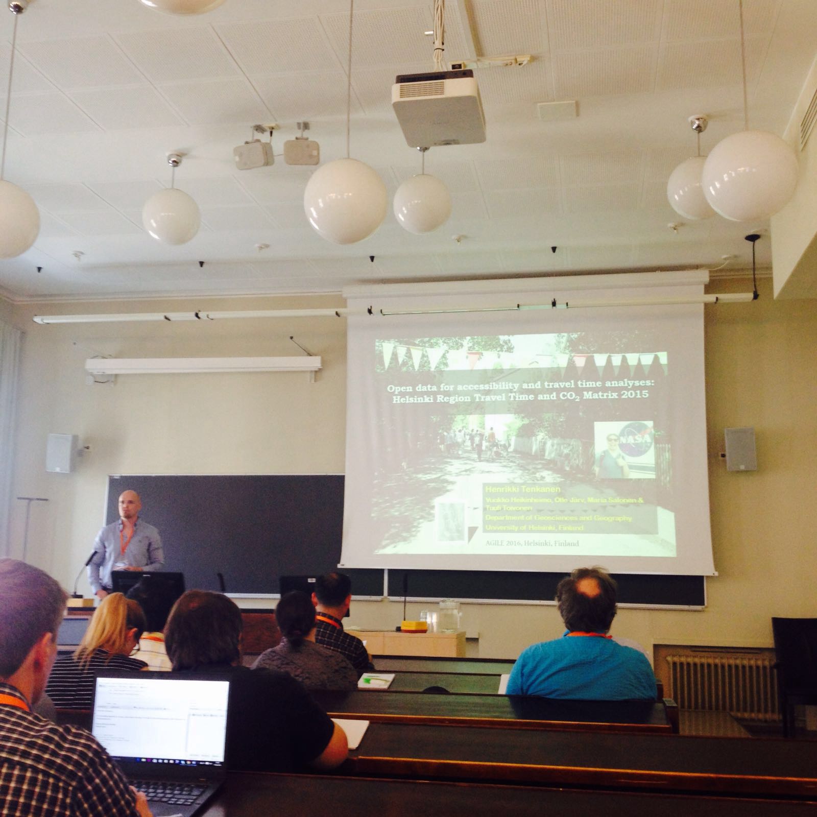
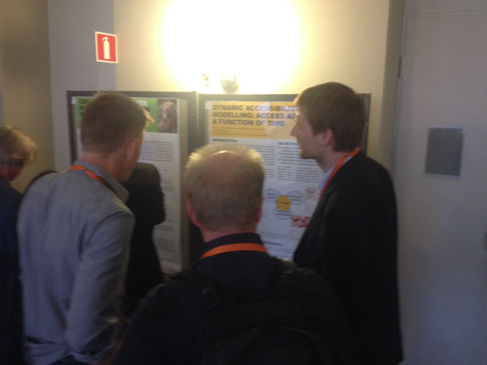
Accessibility Research Group was actively present at  the 19th AGILE International Conference on Geographic Information Science in Helsinki, Finland. Henrikki Tenkanen gave a talk on our open data for accessibility and travel time analyses and Olle Järv presented a poster on dynamic accessibility modeling. See also the poster on social media data by the SomeCon-project!


IMG-20160615-WA0001

Henrikki Tenkanen giving a talk at the 19th AGILE conference.

IMG-20160617-WA0004

Olle Järv at the AGILE conference poster session.

IMG-20160615-WA0000

The 19th AGILE conference was held at the central campus of the University of Helsinki 14-17 June 2016.

MetropAccess-Travel Time Matrix is being updated!

The Accessibility Research Group is currently working on updating the MetropAccess-Travel Time Matrix dataset! The matrix consists of travel time and travel distance information across the Helsinki Metropolitan Region by walking, public transportion and car. The dataset will be updated to represent the current time tables and transportation network (for example including the Ring Rail Line).

The updated matrix will be distributed on the project website later this fall. In the meanwhile, have a look at the original Travel Time Matrix available in the Data-section.

Stay tuned!

Accessibility seminar in Kumpula on Friday 10th July 2015!

The MetropAccess-project from the University of  Helsinki, and the SNAMUTS (Spatial Network Analysis for Multi-modal Urban Transport Systems) -project from Australia are organizing a summer seminar focusing on the analysis of urban accessibility on Friday the 10th of June at the University of Helsinki, Kumpula Campus. The event will be held in the Exactum-building, room CK112 from 9.30 am until 2 pm. See the preliminary program for the seminar here (only in Finnish).

During the day, we will hear presentations about tools and data for studying multimodal accessibility in the capital region of Helsinki, future scenarios of accessibility, and international comparisons between different urban regions.

The Australian research group SNAMUTS has studied accessibility in 24 city regions. We will hear more about  indicators in their study and results regarding the city region of Helsinki. We will also have a look at the ongoing work in the MetropAccess-project regarging mobile phone data and the modeling of real movement patters of people.

The goal of the both projects is to provide useful information about multimodal accessibility for urban planners. We would like to warmly welcome city planners, consultants researchers and students within this field!

The event is organizen both in Finnish and in English. Sign up for the seminar before the 5th of July via this link (add  your name, organization and email address): https://elomake.helsinki.fi/lomakkeet/61968/lomake.html