Autumn term is coming to an end!
Course teaching at the University of Helsinki is ending this week for the winter break. This autumn, researchers at the Digital Geography Lab have been working hard to share their knowledge and train the next generation. Innovative teaching approaches and teaching materials have also been developed further for the use of the University of Helsinki Geography programmes.
We congratulate and thank Vuokko Heikinheimo for leading and updating the hugely successful Automating GIS processes course together with Henrikki Tenkanen, Olle Järv for running and improving the Quantitative research techniques and analysis in human geography course, and Joel Jalkanen for putting lots of effort to re-inventing the Conservation Planning and Zonation course, together with Enrico Di Minin.
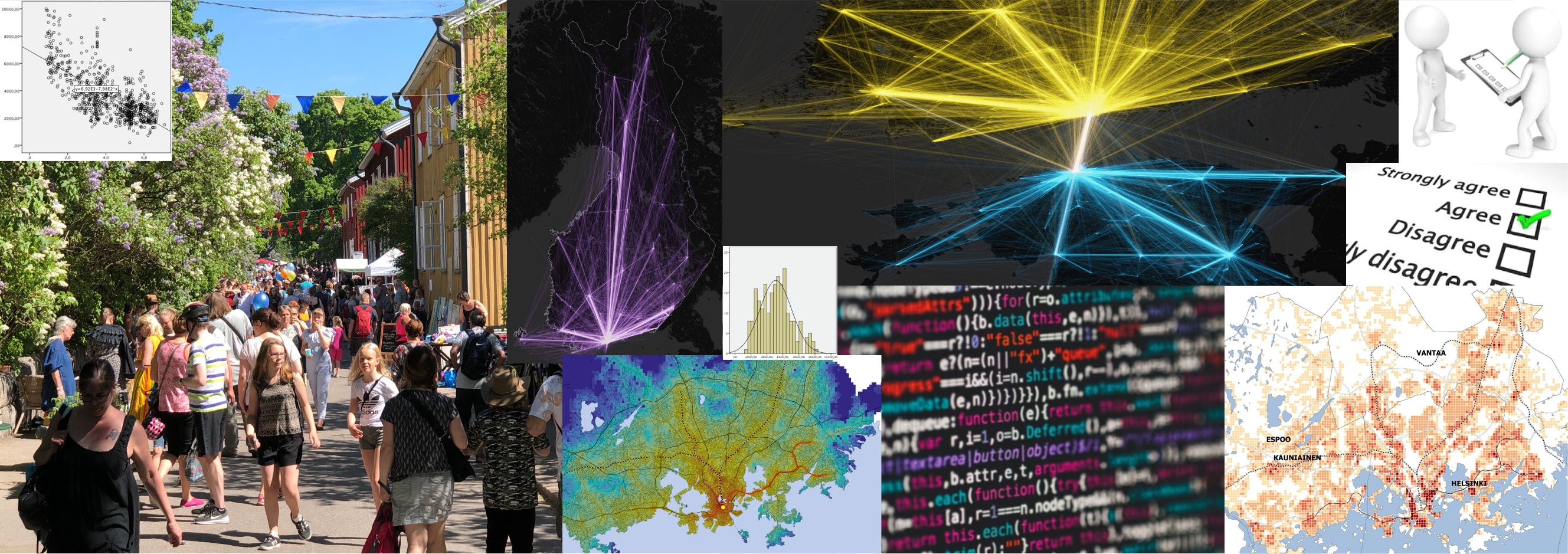
Quantitative research in Human Geography

Olle : “Quantitative research in Human Geography is about telling geographical stories with quantitative data! To explore, explain and understand society at a range of geographical scales, and over time – societal processes and phenomena, differences and regularities between places and people. For this, it is important to handle quantitative research techniques and analysis, however, it is crucial to keep in mind that (human) geography is more about geography, space, place and people than about math, statistics and spatial analytics.”
Conservation Planning and Zonation

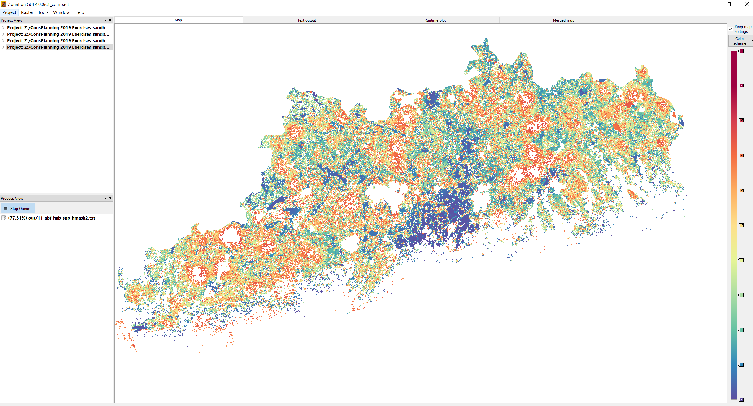
Where are the most important biodiversity areas in the Uusimaa region? Zonation tells that!
Joel: “The Conservation Planning and Zonation course familiarizes students with current topics, theories, methods and data sources of spatial conservation planning. The students get an overview of recent research and practice of spatial conservation planning and get hands-on experience on analyzing spatial conservation planning problems with GIS-based Zonation software.”
Automating GIS processes


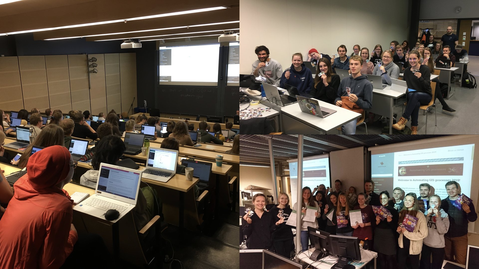
100 enthusiastic geography and geology students started to learn Python this autumn!
Vuokko: “During the Automating GIS processes course, the students learn to analyze geospatial data efficiently and systematically using the Python programming language. The students also learn to use a version control system (git) and online repositories (GitHub) for documenting and communicating their analysis workflow. Course materials are openly available at geo-python.github.io and autogis.github.io“
