Angesom Teame: Managing water distribution network with geographic information systems. Case study of Asmara historic perimeter.
The Asmara Water Supply and Sewerage Department (AWSSD) holds old water pipelines that are not well documented. Many of the newer water pipelines are not well documented either. A central data storage system that could contain the information with ease of access to update and retrieve information of these waterlines is lacking. There is a need to find a way that existing water distribution network data could be represented and stored with GIS geodatabase. The solution would contribute to the management of the water distribution network.
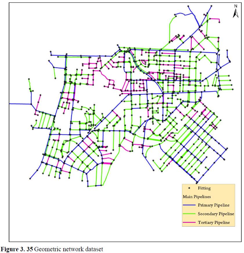
The aim of this study is to create a GIS geometric network data and one-piece geodatabase as a model project for the drinking water infrastructure of the Asmara city. The model project focused on the historic perimeter. ArcGIS 10.2.2 and SQL server were selected to serve as the key software systems that would be applied as a medium to solve and characterize the problem. ArcGIS enterprise geodatabase serves as a container to store spatial data with. Data with regard to the potable water system was collected from AWSSD of which available in electronic CAD data format.
An enterprise geodatabase was created in ArcCatalog with a standard co-ordinate system as reference to the data. ArcMap was applied for exporting and editing the CAD drawings which were followed by an arrangement of attribute data for the created features. The end result was represented in ArcMap for visualization and analysis. It also provided ease of access to the attribute information and relationships and the capability to perform geometric network analysis.
Keywords: GIS, enterprise geodatabase, geometric network


