A joint project between University of Helsinki (Finland) and College of Arts and Social Sciences, Adi Keih (Eritrea)
Research
After completing the course work, the students continued with independent research through their MSc theses. In the beginning of 2017, each student prepared a research plan under supervision of their appointed Eritrean supervisors and technical supervision and material support by GIS experts at UH. This was followed by literature review, field work, analysis, and thesis write-up. UH GIS experts supported the students through emails and face-to-face discussions during visits to Eritrea in 2017 and 2018. Preliminary results were reviewed and scrutinized in a number of seminars and sessions arranged by CASS.
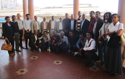
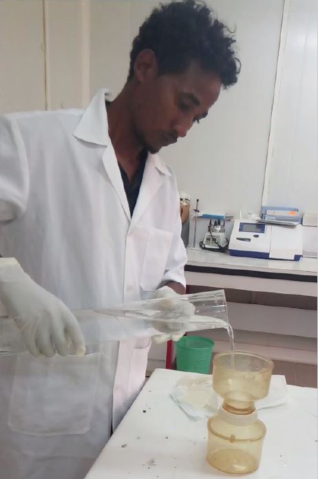
Students and their supervisors during thesis proposal defense, March 2017, Asmara.MSc student Hadgu Eyesab filtering his water samples to extract Chl-A concentration
The departmental graduate committee at CASS, together with appointed MSc thesis supervisors, inspected and evaluated each thesis in July 2018, following the NHERI guidelines. All twelve MSc theses were accepted.
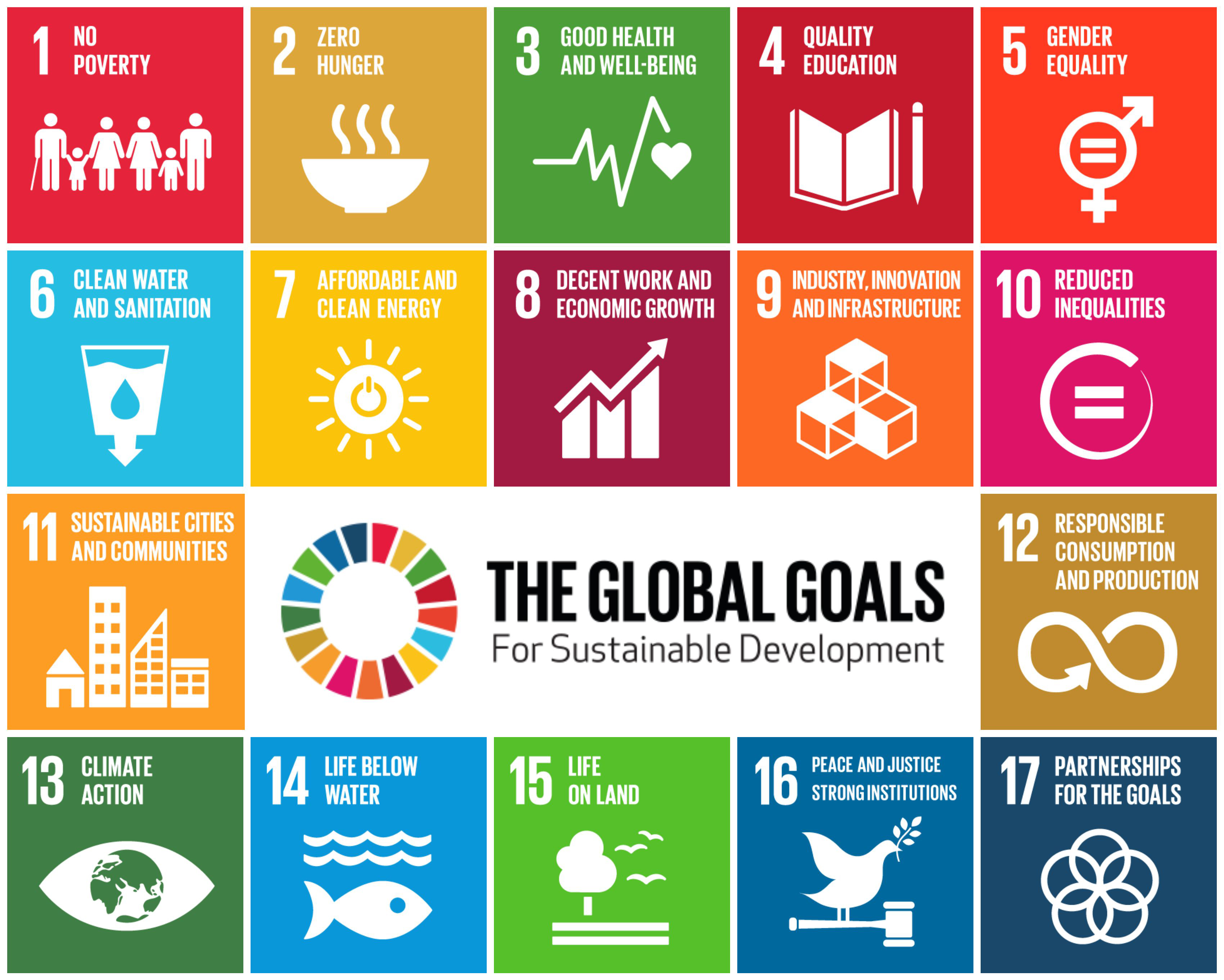
Not only was the MSc degree a huge boost for these teacher’s careers, but the results of their research also carry relevance on wider development issues in Eritrean society. All of the research carried out are dealing with practical applications of geoinformatics to solve local problems. Many strong links to the United Nation’s Sustainable Development Goals can be identified, as summarized in the table below. You can also find abstract and some figures of each thesis by clicking the link in the topic.