Digital Geography Lab has published the 2018 version of the Helsinki Region Travel Time Matrix. The matrix contains travel times and distances between all 250 meter grid squares in the capital region of Finland, with public transportation, car, bike and walking, at different times of the day.
The previous versions of the matrix have been published in 2013 and 2015, allowing analyses of travel time changes due to big infrastructure projects in the region. Biking is included in the matrix for the first time. The data is available openly, alongside with the tools that were used to produce it.
—
Comparisons between different travel modes and years reveal interesting patterns in the accessibility of the Helsinki region. The most accessible grid squares have moved northwards from the city center. Still, the central area of the city is the best reachable by public transportation, while the ring roads in the outskirts of the city are well-reachable by the car-driving population. Biking is a competitive mode of transportation and beats other modes of transport in distances shorter than 5 km, a bit depending on the place and naturally the speed of the biker. The Travel Time Matrix provides biking travel times for fast and slow bikers. The speeds have been estimated based on Strava sports application, as well as city bike system of Helsinki.
The big infrastructure changes like the opening of a new metroline (Länsimetro) has had moderate impact on the accessibility of the region. The travel times have become shorter on average in Lauttasaari and Otaniemi, and longer in parts of Espoo.
Download the data from here.
Read more:
- Dynamic Cities: Location-based accessibility modelling as a function of time, Applied Geography – https://www.sciencedirect.com/science/article/pii/S014362281731144X
- Power point on changes in the accessibility in the region: http://bit.do/aikamuutokset18
- Online interactive visualization and analysis tool for the data: www.mapple.fi
-
- The most accessible grid squares in the Helsinki region with car and public transportation in 2018.
-
- A comparison of the changes in the most accessible areas between the years 2013 and 2018

-
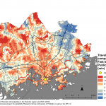
- Comparison of biking (fast) and public transportation travel times to the central railway station of Helsinki from the Greater Helsinki Region. In the red areas biking is faster mode of transportation compared to public transportation.

-
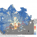
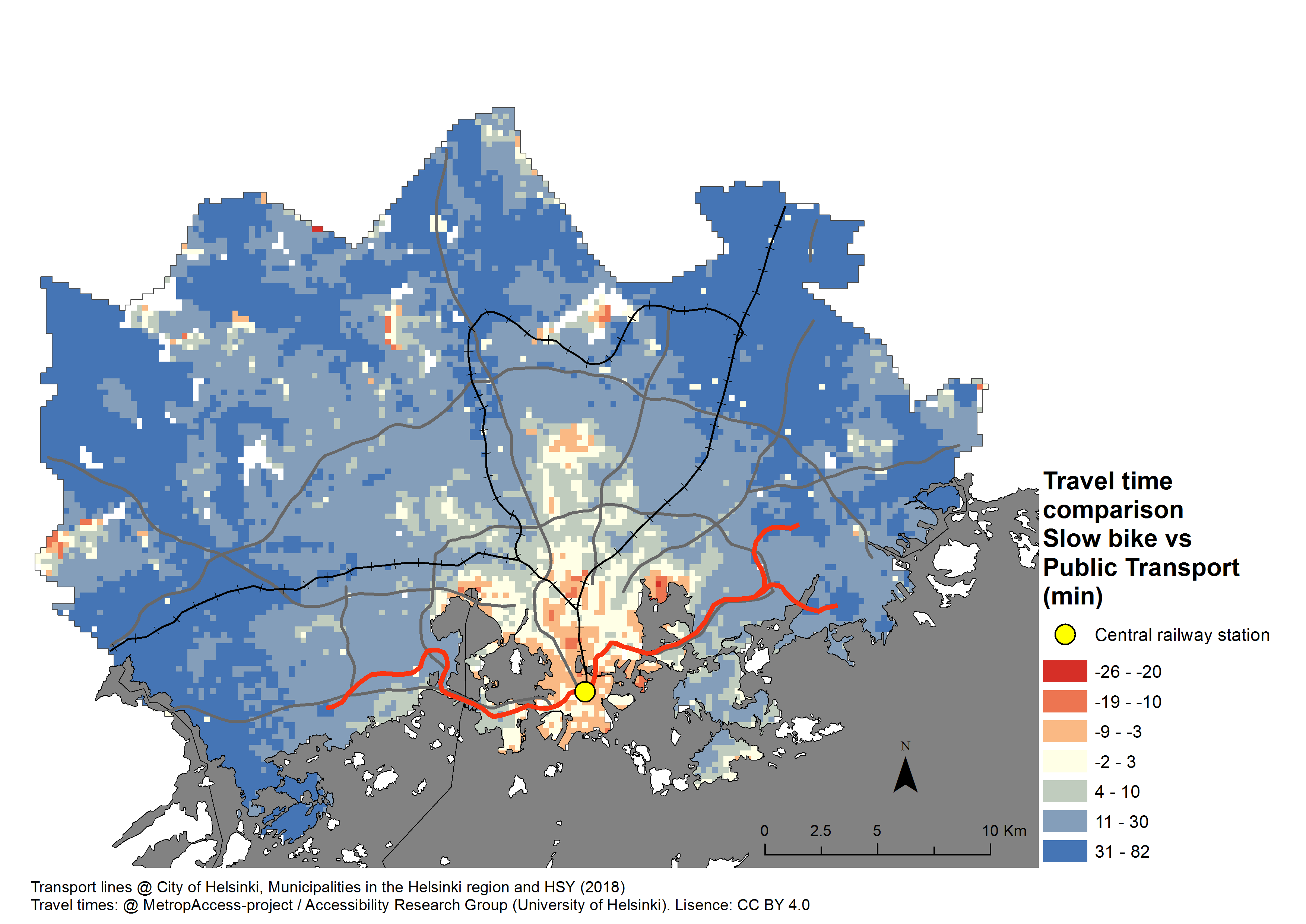
- Comparison of biking (slow) and public transportation travel times to the central railway station of Helsinki from the Greater Helsinki Region. In the red areas biking is faster mode of transportation compared to public transportation.
-
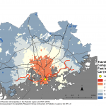
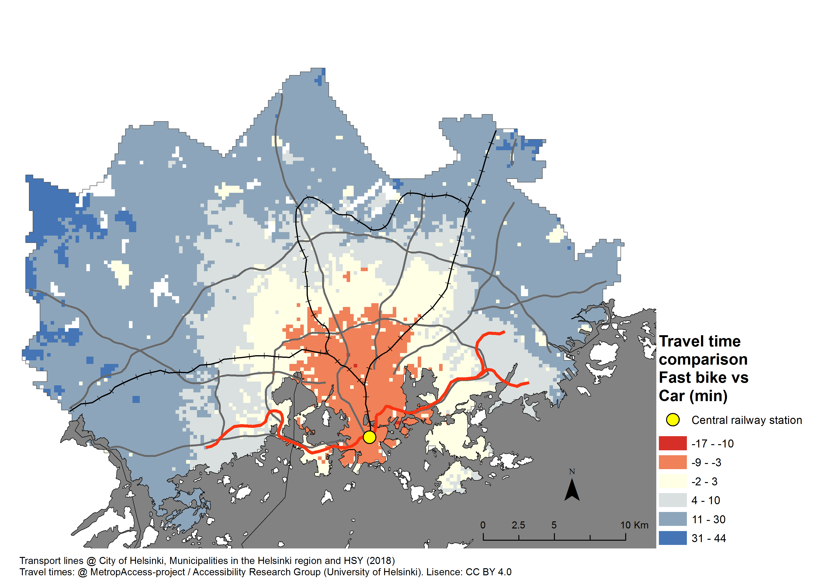
- Comparison of biking (fast) and car travel times to the central railway station of Helsinki from the Greater Helsinki Region. In the red areas biking is faster mode of transportation compared to car.
-
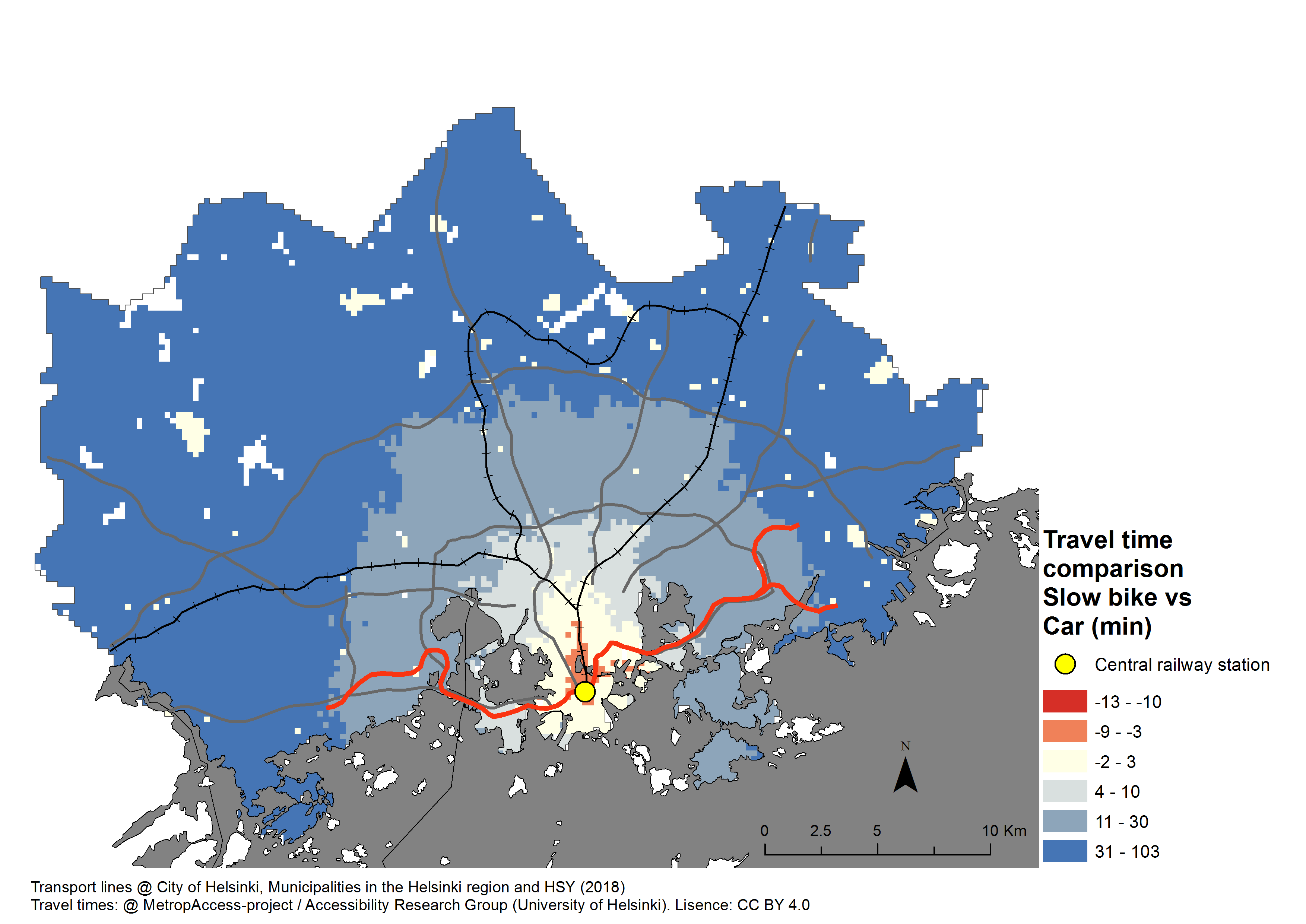
- Comparison of biking (slow) and car travel times to the central railway station of Helsinki from the Greater Helsinki Region. In the red areas biking is faster mode of transportation compared to car.
-
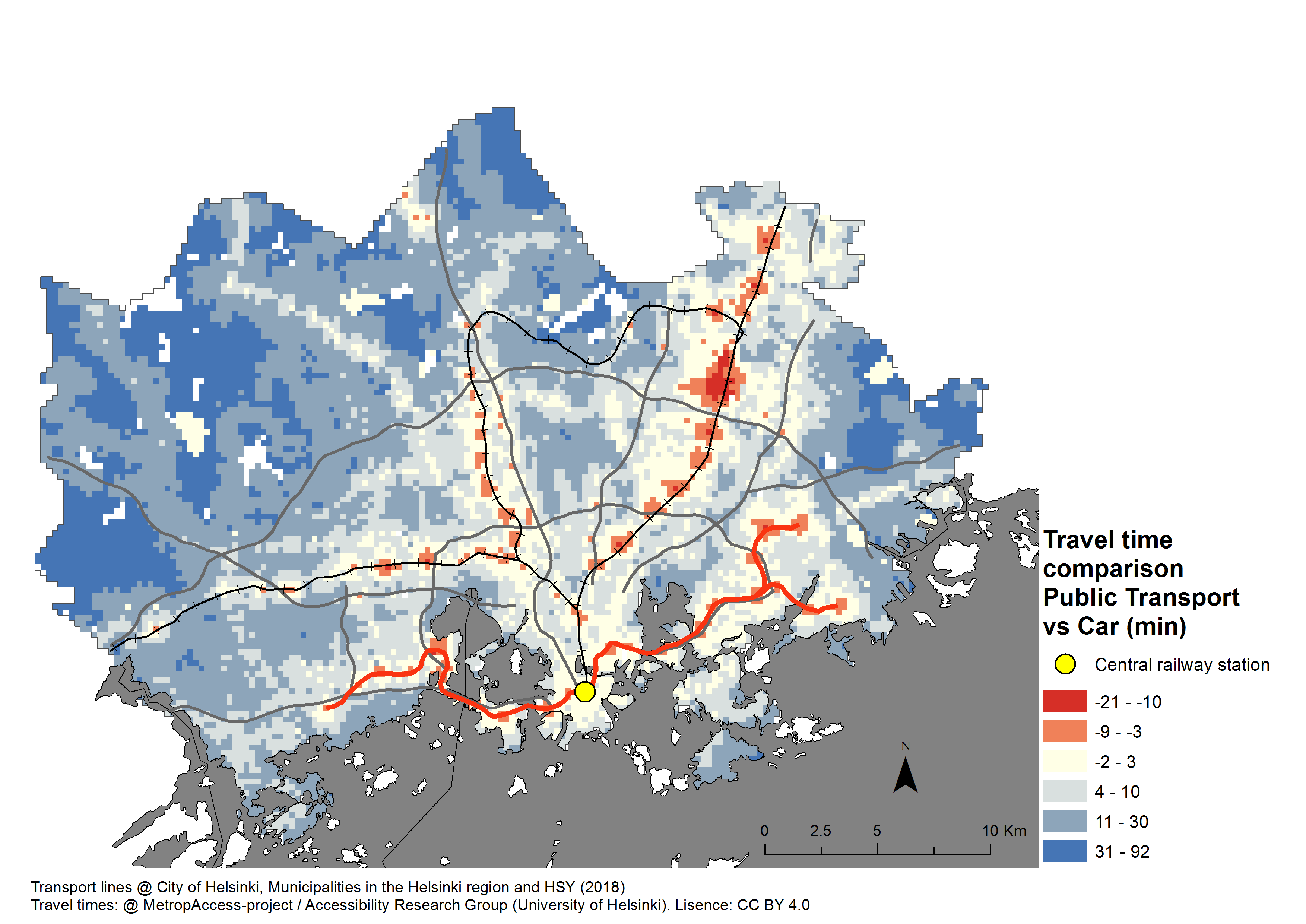
- Car is a fast transport mode at the Greater Helsinki Region. Only in red areas public transportation is faster, when travelling to the Helsinki city center.