New page about Lidar airborne laserscanning and remote sensing in archaeology / Uusi sivu Lidar-laserkeilauksesta ja kaukokartoituksesta arkeologiassa

A new page added about using the airborne Lidar laserscanning and other remote sensing materials in archaeology, with examples and links to some recent articles on the subject (click the picture below) / Uusi sivu lisätty Lidar-kaukokartoitusmateriaalin käytöstä arkeologiassa, sivulta löytyy esimerkki kuvia ja linkkejä tuoreisiin artikkeleihin (klikkaa alla olevaa kuvaa):

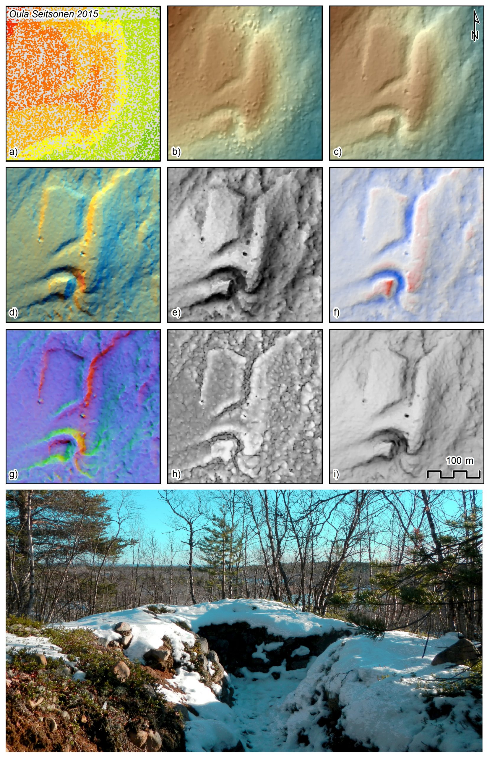
Lidar visualisations of Second World War defences at Enontekiö (Eanodat).


This entry was posted in Yleinen on by .

About Oula Seitsonen

An archaeologist and geographer working with varying things in various places, e.g. Mongolia, Tanzania, and Russia (basically with whatever pays my bills). I like for example Geographic Information Systems (GIS), Stone Age, contemporary and conflict archaeology, and lithics.