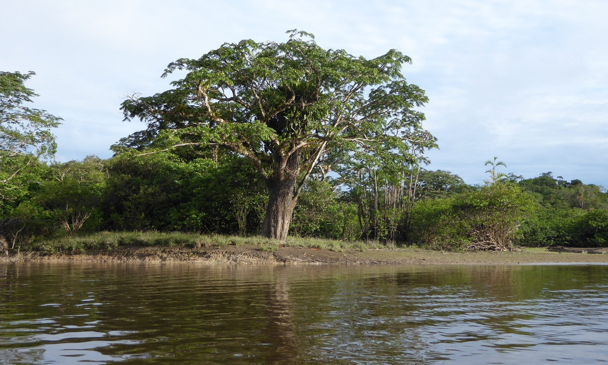
Maps are useful media for illustrating and analysing the spatiality of many social and environmental phenomena. Since the 1980s, researchers have increasingly recognized the value of ordinary people’s local knowledge and perceptions for research and spatial planning (Chambers 2006). Indigenous and other minoritized groups have also started to create their own maps to communicate their place-based knowledge and relations, and to resist the “official” images of the places mediated by the maps produced by external state authorities or scientists (Peluso 1995, Wood 2010, kollektiv orangotango+ 2018). In Ecuador, for example, the community maps recently played an important role in the fight of the Waorani over their right to their territory and in winning a legal court case (Scacca & Nenquimo 2021).
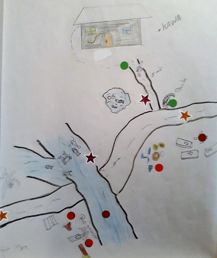
In 2019, before the onset of the Covid-19 pandemic, our project also carried out participatory mapping in intercultural bilingual upper secondary schools in Pastaza province. Three schools were selected for the study: Camilo Huatatoca in Santa Clara (majority of the students kichwas and mestizos), Kumay in the shuar territory and Sarayaku in the kichwa community. We were particularly interested in how the students perceive their living environment and their journeys between home and school. The students were asked to mark on the maps the places they like, do not like, places they think should be improved somehow and the places they find culturally important. In addition, they were asked to point out places where they had encountered some environmental problems. The students were also interviewed about their mappings.
Continue reading “Participatory mapping of the youth’s living environments in Amazonia”